
Country Area 358.47 km2 Mayor Joseph A. Evangelista | Population 117,610 (2007) Region SOCCSKSARGEN Founded August 18, 1947 | |
 | ||
Colleges and Universities Notre Dame of Kidapawan College, Colegio de Kidapawan, North Valley College, STI Kidapawan | ||
District 2nd District of Cotabato | ||
Map of Kidapawan
Kidapawan, officially the City of Kidapawan (Cebuano: Dakbayan sa Kidapawan; Hiligaynon: Dakbanwa/Syudad sang Kidapawan; Filipino: Lungsod ng Kidapawan) or often referred to as simply Kidapawan City, is the capital city of Cotabato Province. According to the 2015 census, it has a population of 140,195 people.
Contents
- Map of Kidapawan
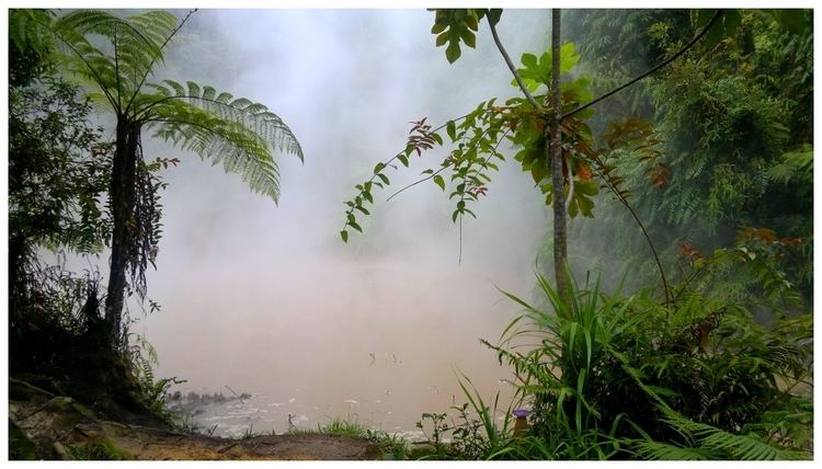
- Lake agco kidapawan city philippines
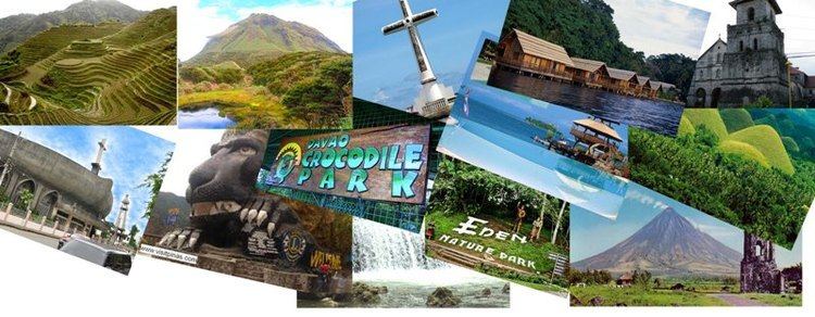
- Kidapawan city philippines see tourist spots
- Etymology
- History
- List of Mayors
- Geography
- Climate
- Barangays
- Demographics
- Economy
- Agriculture
- Tourism
- Transportation
- References

Located at the foot of Mount Apo, it is a popular destination from late October to December and in the summer, when thousands of tourists climb the country's highest mountain.
Lake agco kidapawan city philippines
Kidapawan city philippines see tourist spots
Etymology
The origins of the word Kidapawan are disputed. According to official documents, it comes from the words tida, which means "spring", and pawan, which means "highland".
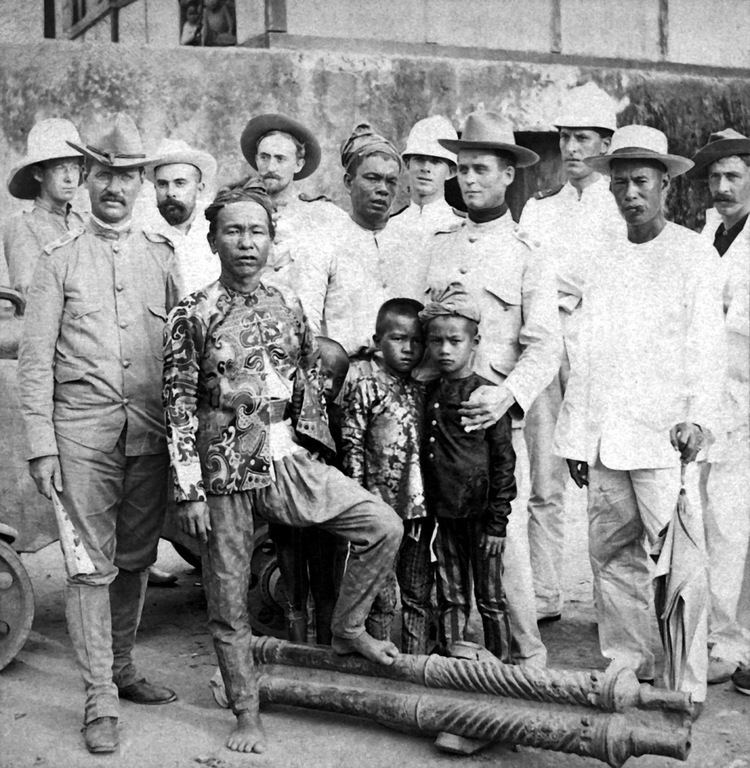
History
The first settlers around Kidapawan were predominantly Manobos. The influx of Christian settlers from Luzon and the Visayas resulted in the evolution of the word from 'Tidapawan' to 'Kidapawan'. Aside from the Manobos and Christians, Kidapawan was also home to the most prominent Muslims, including a Sultan (Sultan Omar Kiram II) who was a descendant of Rajah Baguinda.
Kidapawan City was created by the Republic Act. No. 8500, signed by President Fidel V. Ramos on February 12, 1998, making it the first component city of Cotabato Province. The Act was ratified by a large majority by a plebiscite on March 21, 1998. It was originally named a district of Pikit.
In 1942, the Japanese Imperial forces entered Kidapawan. Three years later, local Filipino soldiers of the Philippine Commonwealth Army and Philippine Constabulary units and Moro guerrilla fighters taken to liberate Kidapawan fought the battles against the Japanese Imperial forces. Kidapawan was later declared a separate municipality by Executive Order No. 82 issued by President Manuel Roxas on August 18, 1947. It thus become the fourth town of the then Empire Province of Cotabato, composed previously of the municipalities of Cotabato (now Cotabato City), Dulawan (later named Datu Piang) and Midsayap.
Created along with the city were the twelve original barangays, namely: Birada, Ginatilan, Indangan, Linangcob, Luvimin, Manongol, Marbel, Mateo, Meohao, Mua-an, Perez, and Sibawan. From the original land area of 273, 262 hectares, Kidapawan retained only 34,007.20 hectares when four municipalities were created from it namely: Magpet (June 22, 1963, R.A. 3721), Matalam (Dec. 29, 1961, E.O. 461), M’lang (Aug. 3, 1951, E.O. 462) and President Roxas (May 8, 1967, R.A. 4869).
Prior to its conversion to a municipality, five appointed District Mayors had served Kidapawan. The first was Datu Siawan Ingkal, tribal chieftain of the Manobos, who headed the Civilian Emergency Administration when World War II broke out. He was followed by Felimon Blanco, Ceferino Villanueva, Jacinto Paclibar, and Alfonso Angeles Sr., who became the first elected mayor of the municipality.
Kidapawan became the provincial capital of Cotabato Province pursuant to Presidential Decree No. 341 dated 22 November 1973, with the provincial seat of government located in Amas. Later, Batas Pambansa No. 660 dated 19 December 1983 renamed the Province of North Cotabato to simply Cotabato. By the time it became the province capital, Kidapawan had already 40 barangays under its geopolitical jurisdiction.
List of Mayors
Appointed Cabeza de Barangay of Kidapawan District, Pikit (American period)
Appointed head (Alcalde) of the Civilian Emergency Administration during and after WWII
Elected Mayors
Geography
Kidapawan is located at the foot of Mount Apo in the south-eastern section of Cotabato province, placed in the middle of other major cities of General Santos, Davao City, and Cagayan de Oro.
Climate
Kidapawan lies outside the typhoon belt and has a mild climate characterized by wet and dry seasons. The coldest months are December and January. The hottest are April and May.
Barangays
Kidapawan City is politically subdivided into 40 barangays.
Demographics
In the 2015 census, the population of Kidapawan was 140,195 people, with a density of 390 inhabitants per square kilometre or 1,000 inhabitants per square mile.
In the 2010 census, the city had a total population of 125,447 people, up 117,610 from in 2007. The religion is predominantly Christian, although there are many Muslims residing in the city as well. The main languages are Cebuano and Hiligaynon, while Tagalog and English are the secondary languages.
Cebuanos and Hiligaynons are the major ethnic groups in the city. Other ethnic groups residing in the area are the Ilocanos, Maguindanaons and Manobos. Cebuano is the most widely spoken language, especially in the city proper. English is considered as the medium of instruction in schools and other learning institutions; it is also predominantly used in major government agencies in their transactions and reports. Laws and ordinances in the city are all written in English. Most of the inhabitants can also speak Filipino.
Economy
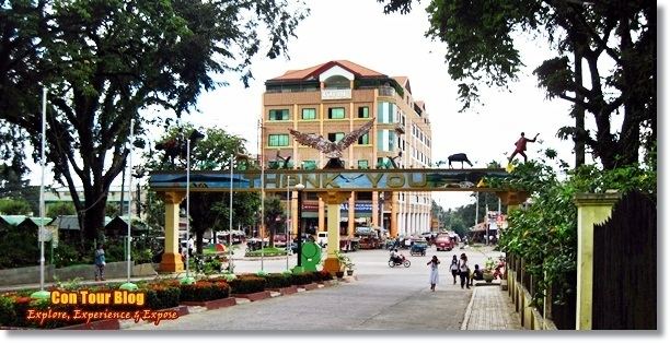
Kidapawan City is classified as a 3rd-class component city, The City is considered as the province’s industrial hub. It plays a pivotal role in the economic development of the province and its adjacent areas. It is the commercial and trading hub of six neighboring municipalities. It lies at the heart of three large domestic markets: General Santos City, Davao City and Cotabato City.
Agriculture
The flower-cutting industry is a primary source of livelihood among Cotabateños, especially those residing in Kidapawan City. In addition to ornamental and forest tree seedlings, flowers such as roses, anthuriums and orchids are abundantly grown locally providing a very promising and highly profitable source of livelihood and business in the area.
Kidapawan is the second largest producer of fruit in the Philippines, after Davao City. Exotic fruits like durian, Mangosteen, lanzones, marang, singkamas, rambutan, banana, and the like are grown and harvested in abundance in the highlands of Mt. Apo, in rural communities of Kidapawan City, and also in small home plots.
Crops abundantly grown in the area include abaca, rubber, corn, rice, coconut, and vegetables.
Tourism
Kidapawan City is the most well-known starting point for trekking on Mount Apo which towers at 10,311 feet above sea level with a total area of 14.6 square meters. The country’s tallest peak is an abode to the almost extinct Philippine eagle. Within the Mt. Apo Natural Park is the Mandarangan Geological Site which is being promoted as a major educational tourism site. Lake Venado, hidden among the mountain ranges, stands at an elevation of 7,200 feet above sea level.
To celebrate the abundance of the exotic fruits grown in Kidapawan City, the city government hold an annual festival in the month of August called Timpupu, the fruit festival. This festival, first held in 2002, celebrates fruit harvest. The city purchases large quantities of local fruit which is laid out on tables along the streets for visitors and residents. Dubbed “Timpupu” from the Manobo word “harvest”, the celebration signifies the people's thanksgiving.
The Foundation Anniversary of the City of Kidapawan is held every February 12.
Transportation
Local public transportation is primarily served by almost 3,000 motor tricycles known as just "motor". Multicabs, and jeepney provide transportation to barangays and adjacent municipalities. Public Utility Vans also served routes to and from the cities of Davao, Cotabato, and Tacurong. Mindanao Star and Davao Metro Shuttle are the bus companies operating in the city. Nearest airport is the Davao International Airport.