
Elevation 1,151 m (3,776 ft) | Time zone PST (UTC+5) | |
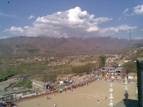 | ||
Khwazakhela to bahrain swat
Khwazakhela (Pashto: خوازه خېله) is a town and an administrative subdivision (Tehsil) of Swat District in the Khyber Pakhtunkhwa province of Pakistan.
Contents
- Khwazakhela to bahrain swat
- Map of Khwazakhela Pakistan
- Imran khan jalsa in khwazakhela swat valley by sherin zada
- Climate
- Administrative unites
- References
Map of Khwazakhela, Pakistan
Imran khan jalsa in khwazakhela swat valley by sherin zada
Climate
With a mild and generally warm and temperate climate, Khwazakhela features a humid subtropical climate (Cfa) under the Köppen climate classification. The average temperature in Khwazakhela is 18.1 °C, while the annual precipitation averages 969 mm. Even in the driest months, there is a lot of precipitation. November is the driest month with 24 mm of precipitation, while July, the wettest month, has an average precipitation of 138 mm.
July is the warmest month of the year with an average temperature of 28.1 °C. The coldest month January has an average temperature of 6.4 °C.
Administrative unites
According to Khyber Pakhtunkhwa Local Government Act 2013, Tehsil Khwazakhela has following 7 Wards: