
Country Thailand Postal code 58140 Area 1,698 km² Province Mae Hong Son Province | Time zone ICT (UTC+7) Geocode 5802 Population 21,479 (2005) | |
 | ||
Khun Yuam (Thai: ขุนยวม, [kʰǔn jūa̯m]) is a district (amphoe) of Mae Hong Son Province, northern Thailand.
Contents
Map of Khun Yuam District, Mae Hong Son, Thailand
History
Mueang Khun Yuam was made a district (Amphoe) in 1910. Khun Det Pracharak (ขุนเดชประชารักษ์) was the first head of district.
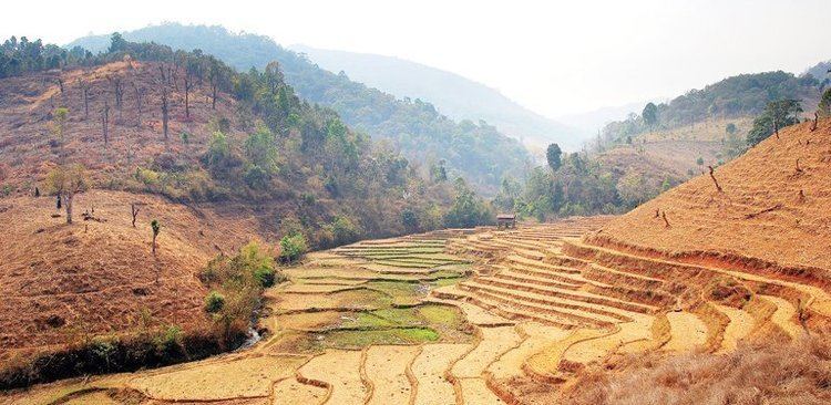
Geography
Neighboring are (from north clockwise) Mueang Mae Hong Son of Mae Hong Son Province, Mae Chaem of Chiang Mai Province, Mae La Noi of Mae Hong Son Province, and Kayah State of Myanmar.
The Yuam River and the Mae Surin Waterfall in Namtok Mae Surin National Park are in the district.
Administration
The district is divided into six sub-districts (tambon), which are further subdivided into 45 villages (muban). Khun Yuam is also a township (thesaban tambon) covering parts of the tambon Khun Yuan. There are a further four tambon administrative organizations (TAO) and two tambon administrations (TA).