
Administrative center selo of Khorinsk Somons 3 Area 13,431 km² | Federal subject Republic of Buryatia Selsoviets 7 Rural localities 27 | |
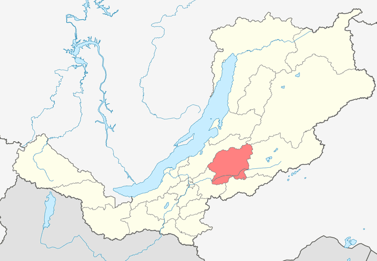 | ||
Khorinsky District (Russian: Хори́нский райо́н; Buryat: Хориин аймаг) is an administrative and municipal district (raion), one of the twenty-one in the Republic of Buryatia, Russia. It is located in the center of the republic. The area of the district is 13,431 square kilometers (5,186 sq mi). Its administrative center is the rural locality (a selo) of Khorinsk. As of the 2010 Census, the total population of the district was 18,467, with the population of Khorinsk accounting for 44.1% of that number.
Contents
Map of Khorinsky District, Buryatia, Russia
History
The district was established in November 1923.
Administrative and municipal status
Within the framework of administrative divisions, Khorinsky District is one of the twenty-one in the Republic of Buryatia. The district is divided into seven selsoviets and three somons, which comprise twenty-seven rural localities. As a municipal division, the district is incorporated as Khorinsky Municipal District. Its seven selsoviets and three somons are incorporated as nine rural settlements within the municipal district. The selo of Khorinsk serves as the administrative center of both the administrative and municipal district.