
Postal code 7020 Area 99.17 km² | Time zone BST (UTC+6) Website Official Map of Khoksa | |
 | ||
Khoksa (Bengali: খোকসা) is an Upazila of Kushtia District in the Division of Khulna, Bangladesh.
Contents
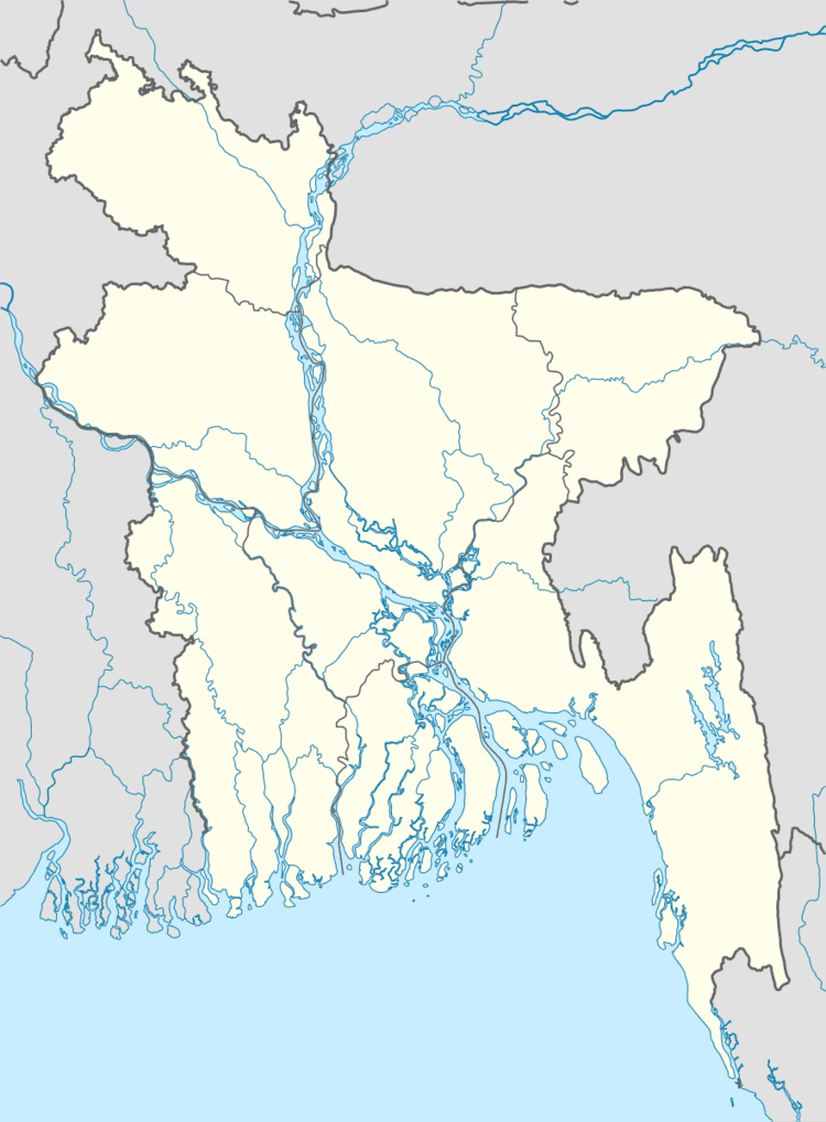
Map of Khoksha Upazila, Bangladesh
Geography
Khoksa is located at 23.8000°N 89.2833°E / 23.8000; 89.2833 . It has 16,424 households and a total area of 99.17 km².
Demographics
According to the 1991 Bangladesh census, Khoksa had a population of 93,371. Males constituted 51.65% of the population, and females 48.35%. The population aged 18 or over was 47,024. Khoksa had an average literacy rate of 25.2% (7+ years), compared to the national average of 32.4%.
Administration
Khoksa has 3 Unions/Wards, 79 Mauzas/Mahallas, and 92 villages.
Education
Educational Institutions: Khoksa (Bengali: খোকসা) . has a number of educational institutions. Khokha University College (Bengali: খোকসা বিশ্ববিদ্যালয় কলেজ, খোকসা) and Khoksa-Janipur Pilot High School (Bengali: খোকসা জানিপুর পাইলট উচ্চ বিদ্যালয়)are mentionable. These educational institutions have glorious history and reputation. Students of these institutions are making brilliant results in public examinations. Besides there are Shomospur High School, Khoksa Janipur Pilot Girls High School, Iswardi High School, Bonogram High School, Moragacha High School etc.
Khoksa Janipur Pilot High School - Since 1900a..
Historical Kalibari (Bengali: কালীবাড়ি) Temple in Khoksa