
Postal code 65110 Chief roadway Route 1063 Local time Monday 1:45 PM | Time zone ICT (UTC+7) Geocode 650503 Population 3,342 (2005) | |
 | ||
Weather 37°C, Wind N at 13 km/h, 29% Humidity Amphoes Phitsanulok Province, Bang Krathum District | ||
Khok Salut (Thai: โคกสลุด) is a subdistrict (tambon) in the Bang Krathum district of Phitsanulok Province, Thailand.
Contents
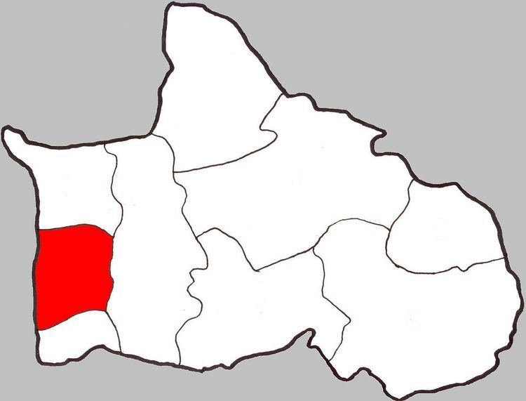
- Map of Khok Salut Bang Krathum District Phitsanulok Thailand
- Geography
- Administration
- Temples
- References
Map of Khok Salut, Bang Krathum District, Phitsanulok, Thailand
Geography
Khok Salut is bounded to the north by Ban Rai, to the east by Bang Krathum, to the south by Sanam Khli, and to the west by Phichit Province. Most of Khok Salut lies within the Nan Basin, although a narrow strip of land on the west side of the subdistrict lies within the Yom Basin. Both basins are part of the Chao Phraya Watershed. The Nan River flows through Khok Salut.
Administration
The subdistrict is subdivided into 10 smaller divisions called (muban), which roughly correspond to the villages in Khok Salut. There are six villages, several of which occupy multiple muban. Khok Salut is administered by a tambon administrative organization (TAO). The muban in Khok Salut are enumerated as follows:
Temples
Khok Salut is home to the following four temples: