
Status Operational Type of dam Embankment, earth-fill Construction began 1999 | Opening date 2008 Opened 2008 Impound Aras | |
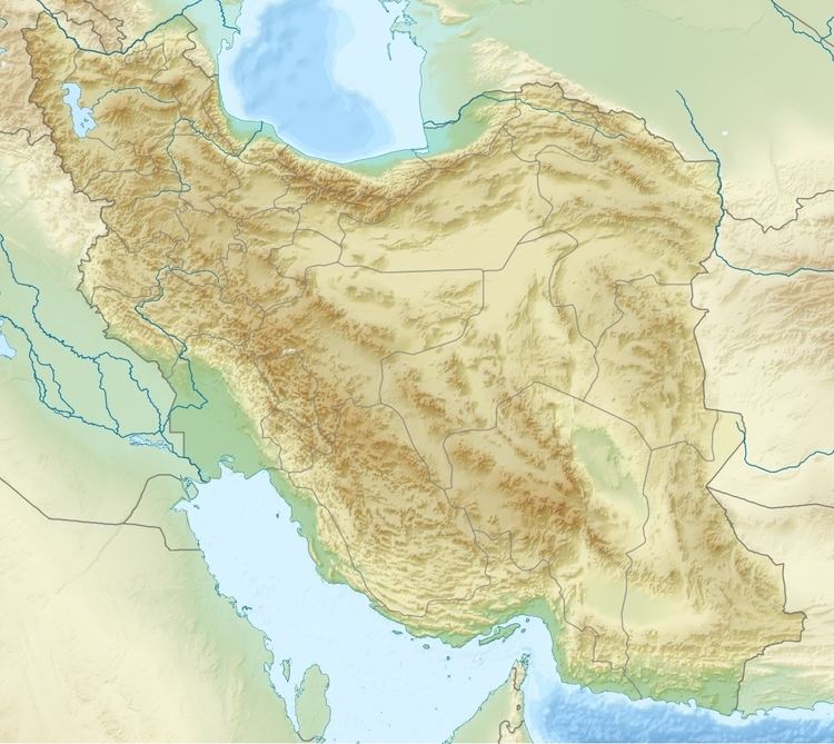 | ||
Location Khomarlu, East Azerbaijan Province/Soltanlı, de facto: Hadrut Province, de jure: Jabrayil Rayon Owner(s) East Azerbaijan Regional Water Authority Similar Aras Dam, Khodaafarin Bridges, Rais Ali Dilavari Dam, Jiroft Dam, Yazd Solar Power Station | ||
Khoda Afarin Dam (also spelled as Khodaafarin Dam or Hudafarin Dam) is an earth-fill embankment dam on the Aras River straddling the border between Iran and Azerbaijan. It is located 8 kilometres (5.0 mi) west of Khomarlu in East Azerbaijan Province, Iran and 14 kilometres (8.7 mi) southwest of Soltanlı in Jabrayil District, Azerbaijan. It is located 1 kilometre (0.62 mi) upstream of the Khodaafarin Bridges. The purpose of the dam is hydroelectric power generation and irrigation. It was conceived as a joint project with the Soviet Union and both sides reached an agreement in October 1977. Designs were finalized in 1982, revised in the early 1990s and construction began in 1999.
Map of Khoda Afarin Dam, Azerbaijan
The dam was complete and began to impound water in 2008. It was inaugurated in 2010. The irrigation works are still underway. During construction, several Bronze Age sites were discovered, including the grave of a Saka-Scythian warrior. The reservoir filling, or impoundment, was delayed in 2008 to accommodate excavations. The dam's power plant has an installed capacity of 102 megawatts (137,000 hp) and is designed to irrigate 75,000 hectares (190,000 acres).