Population Uninhabited | ||
 | ||
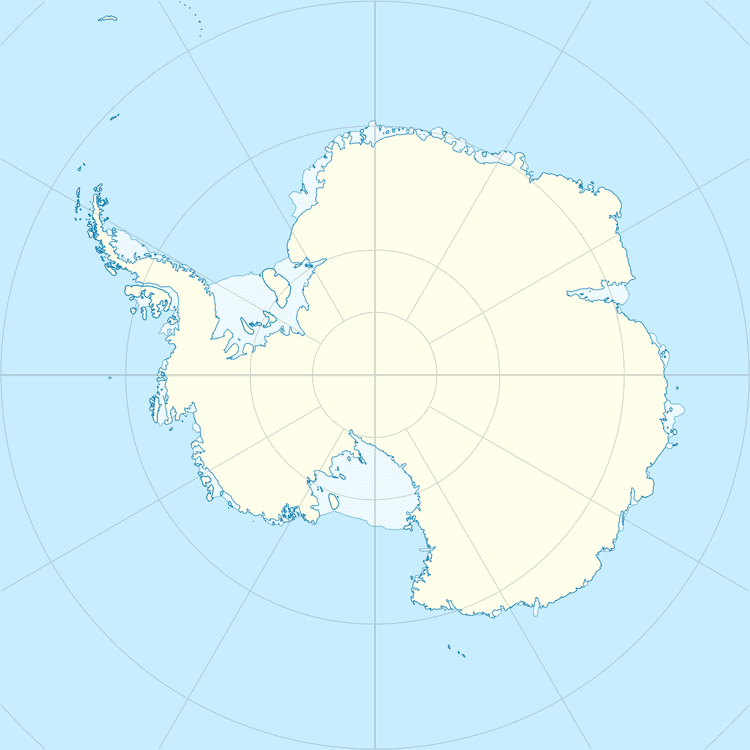
Khmara Island is a small island lying 2 kilometres (1 nmi) south of Haswell Island, Queen Mary Coast, Antarctica. It was mapped from aerial photos taken by U.S. Navy Operation Highjump, 1946–47. It was remapped by the Soviet Antarctic Expedition, 1956, and named after tractor driver Ivan F. Khmara.
References
Khmara Island Wikipedia(Text) CC BY-SA
