
Population 10,830 (2004) | Local time Monday 7:45 AM | |
 | ||
Weather 12°C, Wind SW at 21 km/h, 80% Humidity | ||
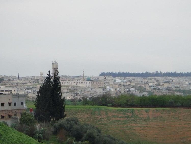
Khattab (Arabic: خطاب, also spelled Khutab is a Town in northwestern Syria, administratively part of the Hama Governorate, northwest of Hama located near the Orontes River River. Nearby localities include Qamhana to the east, Shihat Hama to the southeast, Kafr al-Tun to the southwest, al-Majdal to the west, Mhardeh and Halfaya to the northwest and Taybat al-Imam to the northeast. According to the Central Bureau of Statistics, Khitab had a population of 10,830 in the 2004 census. Its inhabitants are predominantly Sunni Muslims.
Map of Khattab, Syria
In late 1829, during the Ottoman era, Khitab was part of the Sanjak (District) of Hama. It consisted of 55 feddan and paid 5,610 qirsh in taxes to the treasury. In the 1930s about two-thirds of the village's lands were owned by the al-Azm family. In 1838, Khitab was recorded as a Muslim village.