
Vehicle registration GJ Elevation 149 m Local time Monday 9:53 AM | Time zone IST (UTC+5:30) Website gujaratindia.com Population 20,143 (2001) | |
 | ||
Weather 24°C, Wind E at 6 km/h, 20% Humidity Neighborhoods Desaiwado, Vaghvadi, Chabutravas, GIDC | ||
Kheralu is a city and a municipality in Mehsana district in the Indian state of Gujarat. It is a little north of Mahesana Proper town and it is approximately half the size of Mahesana.
Contents
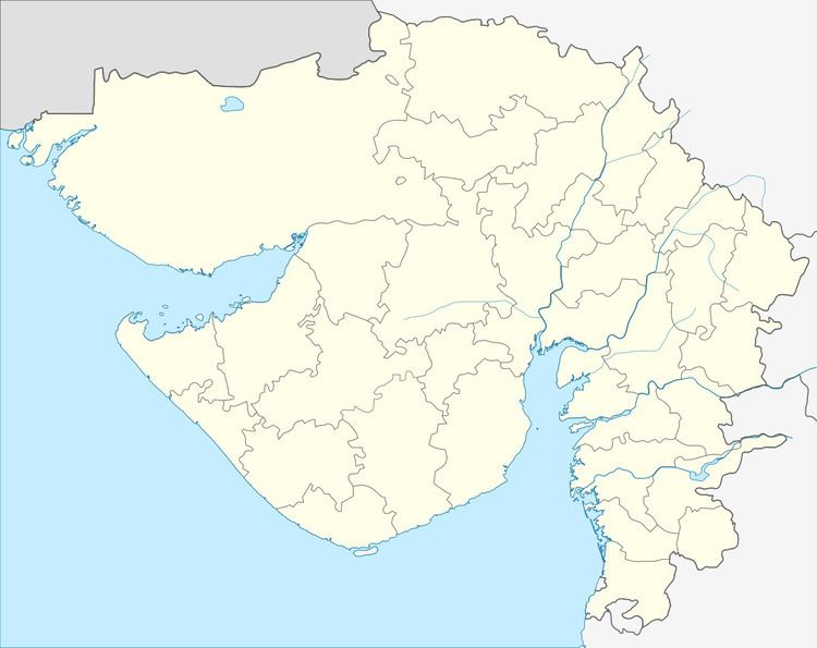
Map of Kheralu, Gujarat
Geography
Kheralu is located at 23.88°N 72.62°E / 23.88; 72.62. It has an average elevation of 149 metres (488 feet). It is the second largest town in its district after Mehsana proper town. It used to have a flowing river which dry now .
Demographics
As of 2001 India census, Kheralu had a population of 20,143. Males constitute 52% of the population and females 48%. Kheralu has an average literacy rate of 68%, higher than the national average of 59.5%: male literacy is 76%, and female literacy is 59%. In Kheralu, 13% of the population is under 6 years of age.
References
Kheralu Wikipedia(Text) CC BY-SA