
Area 80,325.08 km2 Founded 1930 (1930) | Capital Ondorkhaan | |
 | ||
Map of Khentii Province
Khentii (Mongolian: Хэнтий) is one of the 21 aimags (provinces) of Mongolia, located in the east of the country. Its capital is Chinggis. The aimag is named after the Khentii Mountains. It is best known as the birthplace and likely final resting place of Temüjin (otherwise known as Genghis Khan.)
Contents
Geography
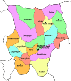
The aimag borders with Russia in the north. The neighbouring aimags are Selenge in the northwest, Töv in the west, Govisümber in the southwest, Dornogovi in the south, Sükhbaatar in the southeast, and Dornod in the east. The border to Töv is divided by the city of Baganuur, an administrative exclave of Ulaanbaatar.
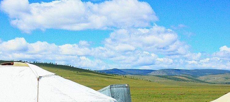
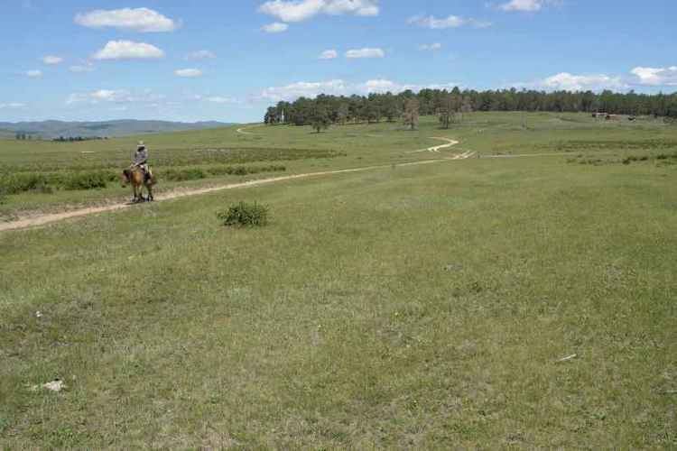
The northwest of the aimag is covered by the eastern part of the Khentii Mountains, towards the southeast the landscape changes into the eastern Mongolian steppe plains. The mountain Burkhan Khaldun in the Khan Khentii Strictly Protected Area is considered sacred, and assumed to be the birthplace of Genghis Khan.
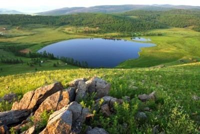
South of Burkhan Khaldun the Kherlen River originates, which crosses the south of the aimag in eastern direction after a detour through Töv. A little further east is the spring of the Onon River. The Balj-Onon National Park is located in the northeast of the aimag.