
Country Algeria Time zone CET (UTC+01) Districts 8 Population 449,220 (2015) Municipalities 21 | Area Code +213 (0) 032 Area 9,811 km² ISO 3166 code Algeria | |
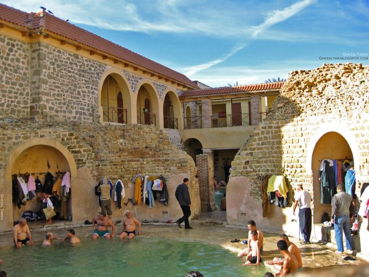 | ||
Khenchela Province (Arabic: ولاية خنشلة, Berber: Tamaẓlayt n Xencelt) is a province (wilaya) of Algeria.
Contents
Map of Khenchela Province, Algeria
Administrative division
The province is divided into 8 districts, which are further divided into 21 communes or municipalities.
Districts
- Khenchela, as a district and capital
- Aïn Touila, located 20 kilometres (12 mi) northeastern of capital
- Babar, located 30 kilometres (19 mi) south of capital
- Bouhmama, located 35 kilometres (22 mi) west of capital
- Chechar, located 50 kilometres (31 mi) south of capital
- El Hamma, located 7 kilometres (4.3 mi) west of capital
- Kaïs, located 22 kilometres (14 mi) west of capital
- Ouled Rechache, located 22 km east of capital
References
Khenchela Province Wikipedia(Text) CC BY-SA