
Time zone IST (UTC+5:30) Elevation 1,257 m Population 908 (2011) | 2011 census code 271291 Local time Monday 9:03 AM | |
 | ||
Weather 17°C, Wind W at 3 km/h, 78% Humidity | ||
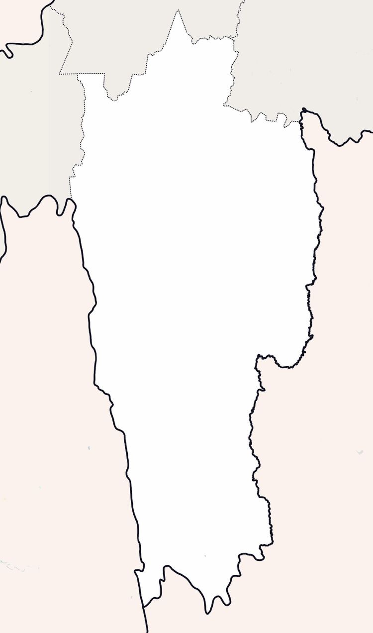
Khawkawn is a village in the Champhai district of Mizoram, India. It is located in the Ngopa R.D. Block, near the state's border with Manipur. It is located at an elevation of 1,257 m above MSL.
Contents
Map of Khawkawn, Mizoram 796290
Demographics
According to the 2011 census of India, Khawkawn has 161 households. The effective literacy rate (i.e. the literacy rate of population excluding children aged 6 and below) is 97.88%.
References
Khawkawn Wikipedia(Text) CC BY-SA