
Population (2004) 1,218 Local time Monday 5:23 AM | Governorate al-Hasakah Subdistrict al-Hawl Time zone EET (UTC+2) | |
 | ||
Weather 12°C, Wind E at 21 km/h, 74% Humidity | ||
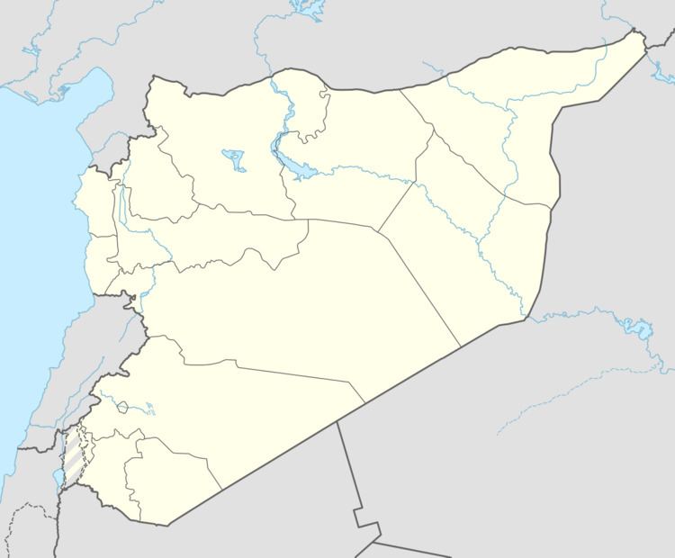
Khatuniyah (Arabic: خاتونية بحرة, Khātūnīyah) is a village near al-Hawl in eastern al-Hasakah Governorate, northeastern Syria.
Contents
Map of Al Khatuniyah%D8%8C Syria
The village is located on a small peninsula at the northeastern shore of al-Khatuniyah Lake (Arabic: بحرة الخاتونية, translit. Baḩrat al Khātūnīyah, Kurdish: Çemê Xatûniyê), close to the border to Iraq. Northwest of the town, a main road that connects the provincial capital al-Hasakah, which is located around 40 kilometres (25 mi) to the west, with the Rabia border crossing towards Iraq.
Administratively the village belongs to the al-Hawl Nahiya of al-Hasakah District. At the 2004 census, it had a population of 1,218.
History
In the Syrian Civil War, the area was held occupied by the Islamic State. The village was however liberated on 11 November 2015 by the Syrian Democratic Forces in the course of their al-Hawl offensive.