Local time Monday 10:07 AM | ||
 | ||
Municipal district Taymyrsky Dolgano-Nenetsky Municipal District Rural settlement Khatanga Rural Settlement Administrative center of Khatanga Rural Settlement Weather -18°C, Wind E at 10 km/h, 69% Humidity | ||
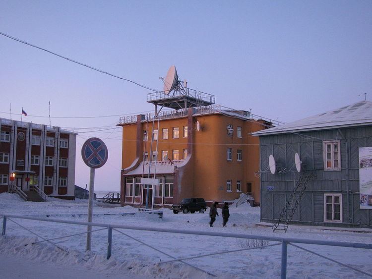
Khatanga (Russian: Хатанга) is a rural locality (a selo) in Taymyrsky Dolgano-Nenetsky District of Krasnoyarsk Krai, Russia, located on the Khatanga River on the Taymyr Peninsula. It is one of the northernmost inhabited localities in Russia. Its elevation is 98 feet (30 m) above sea level. As of the 2002 Census, its population was 3,450.
Contents
Map of Chatanga, Krasnoyarsk Krai, Russia, 647460
The name Khatanga means "large water" in the local Evenki language. The locality is known to have existed since the 17th century. It is served by the Khatanga Airport.
Khatanga is sometimes visited by Western sightseers touring the surrounding natural wilderness in Siberia. Khatanga has a hotel, a natural history museum, and weather reporting stations.
Khatanga is relatively close to the Popigai crater, an asteroid crater and geological formation located in northern Siberia. The crater has been noted since September 2012 as a potential source of a significant new global supply of industrial diamonds.
Climate
Khatanga has a subarctic climate (Köppen climate classification Dfc) with short, mild summers and bitterly cold winters. Precipitation is quite low, but is somewhat heavier in summer, when it falls mostly as rain, than in the rest of the year, when it falls mostly as snow.
