
PIN 210425 Elevation 145 m Population 13,471 (2001) | Time zone IST (UTC+5:30) Vehicle registration UP-95 Local time Monday 7:27 AM | |
 | ||
Weather 13°C, Wind W at 2 km/h, 64% Humidity | ||
Kharela (खरेला) is a town and a nagar panchayat in Mahoba district in the Indian state of Uttar Pradesh.
Contents
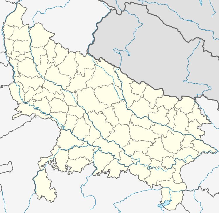
- Map of Kharela Uttar Pradesh 210425
- Geography
- Demographics
- Economy
- Business and Banking
- Education
- Transportation
- References
Map of Kharela, Uttar Pradesh 210425
Geography
Kharela is located at 25.55°N 79.81°E / 25.55; 79.81. It has an average elevation of 145 metres (475 feet).
Kharela, which was one of the largest village in UP, is a town now. It is supposed that "Shringi Muni(Rishi)" lived here. It is surrounded by a large rural area .There are about 13 to 15 small villages around Kharela. So about all the peoples from these villages come here for their livelihood and purchasing.
Demographics
As of 2001 India census, Kharela had a population of 13,471. Males constitute 55% of the population and females 45%. Kharela has an average literacy rate of 55%, lower than the national average of 74%: male literacy is 65%, and female literacy is 48%. In Kharela, 17% of the population is under 6 years of age.
Economy
Most of the people depends on agriculture for their livelihood. The farmers have large farms, but there is not sufficient source of water. This has resulted into migration of large number of farmers and agricultural workers to Delhi for their livelihood, because there is no industrial area in that region. The area is affected by drought since more than ten years. Main business of this area is cutting the stone. There are may mountain.Which is used to cut the stone.
Business and Banking
There is a small but sufficient market, where all the things required for daily life are available. A newly constructed grain mart will be available soon for the people.There is one nationalized and a few other banks.
Education
There are many schools and inter colleges to improve the educational status of Kharela. Some well known educational institutes of the town are given below
Transportation
The UPSRTC buses connect the town to KANPUR,DELHI,MAHOBA, MUSKARA,M.P..,etc.Mostly the transportation depend on the private arrangement. The nearest railway station is Mahoba .which is about 42 km from the town.