
Country India District Munger Elevation 48 m Local time Monday 7:12 AM | State Bihar Time zone IST (UTC+5:30) Population 26,910 (2001) | |
 | ||
Weather 17°C, Wind SW at 10 km/h, 56% Humidity | ||
Kharagpur is a town and a notified area in Munger district in the Indian state of Bihar.
Contents
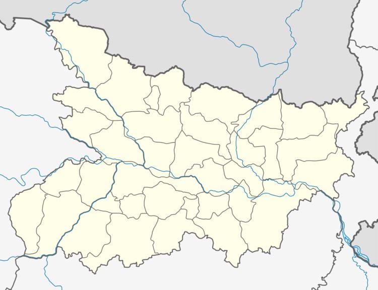
Map of Kharagpur, Bihar
Geography
Kharagpur is located at 25.12°N 86.55°E / 25.12; 86.55. It has an average elevation of 48 metres (157 feet).
Demographics
As of 2001 India census, Kharagpur had a population of 26,910. Males constitute 53% of the population and females 47%. Kharagpur has an average literacy rate of 47%, lower than the national average of 59.5%: male literacy is 55%, and female literacy is 39%. In Kharagpur, 18% of the population is under 6 years of age.
River & Lake
Khargpur having one beautiful Lake known as Khargpur Lake.It is 3 km far from khargpur city in the west direction.
'Bhim Bandh'
This is tourist place for kharagpur hill area. Picnic spot in winter season and You can enjoy spring of hot water.
Kharagpur also has Rameshwar Kund, Kali Mandir which are places of tourist attraction. It is also said that when the King of Kharagpur - Raja Rahmad Ali,later known Raja Rahmad, when ate betel,it could be seen through his neck. He also made a Masjid there.There is one Mani river in Kharagpur, which never dries.