
 | ||
Rural okrug Khaptagaysky Rural Okrug Administrative center of Khaptagaysky Rural Okrug Municipal district Megino-Kangalassky Municipal District | ||
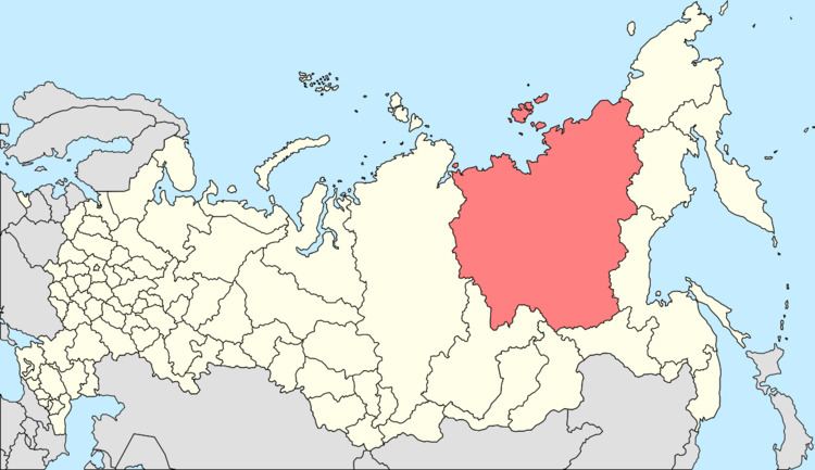
Khaptagay (Russian: Хаптагай; Yakut: Хаптаҕай, lit. flat) is a rural locality (a selo), the only inhabited locality, and the administrative center of Khaptagaysky Rural Okrug of Megino-Kangalassky District in the Sakha Republic, Russia, located 36 kilometers (22 mi) from Mayya, the administrative center of the district, at the confluence of the Myla and Lena Rivers, on the Amur–Yakutsk Mainline. Its population as of the 2010 Census was 1,004; down from 1,014 recorded in the 2002 Census.
Contents
Map of Khaptagay, Sakha Republic, Russia, 678083
Economy
The Tamginsky Ironworks operated in this area in 1735–1756. Nowadays, Khaptagay is an agricultural center, with the main aspects being cattle and horse breeding.
References
Khaptagay Wikipedia(Text) CC BY-SA