
Elevation 274 m Local time Monday 6:58 AM | Time zone IST (UTC+5:30) Population 14,972 (2001) | |
 | ||
Weather 18°C, Wind NE at 0 km/h, 38% Humidity | ||
Khapa is a city and a municipal council in Nagpur district in the Indian state of Maharashtra.
Contents
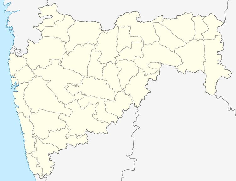
Map of Khapa, Maharashtra 441122
Geography
Khapa is located at 20.92°N 78.95°E / 20.92; 78.95. It has an average elevation of 274 metres (898 feet).
Demographics
As of 2001 India census, Khapa had a population of 14,972. Males constitute 51% of the population and females 49%. Khapa has an average literacy rate of 72%, higher than the national average of 59.5%: male literacy is 80%, and female literacy is 64%. In Khapa, 12% of the population is under 6 years of age. Khapa is based on Kanhan River.
References
Khapa Wikipedia(Text) CC BY-SA