
Time zone IRST (UTC+3:30) Local time Monday 3:25 AM Area code 655 | County Germi Elevation 1,664 m Population 18 (2006) | |
 | ||
Weather -2°C, Wind SW at 6 km/h, 83% Humidity | ||
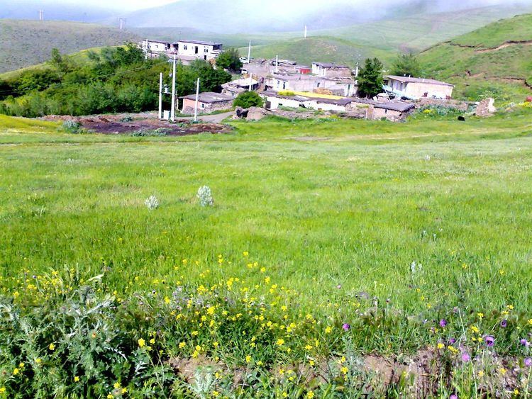
Khan Kandi (Persian: خان كندي, also Romanized as Khān Kandī) is a village in Ojarud-e Gharbi Rural District, in the Central District of Germi County, Ardabil Province, Iran. At the 2006 census, its population was 18, in 7 families. It is close to the border of Iran and Azerbaijan.
Contents
Map of Khankandi, Ardabil Province, Iran
Geography
Khan Kandi lies at latitude 38.55 degrees North and 48.03 East.
History
Khan Kandi was founded simultaneously with the village of Toulon and was an original cornerstone during the rule of Nadir Shah.
Population
In the not too distant past Khan Kandi had 15 households with a population of over 150 people but due to migration to cities the village is down to five households and a population of less than 50 people.
Economy and jobs
The main occupation of villagers is in animal husbandry, beekeeping and agriculture.
Fauna
A variety of animal life can be found in the mountains and meadows surrounding Khankandi.