
Country Thailand Time zone ICT (UTC+7) Geocode 3019 Population 28,306 (2000) | Seat Kham Thale So Postal code 30280 Area 203.6 km² | |
 | ||
Province Nakhon Ratchasima Province | ||
Kham Thale So (Thai: ขามทะเลสอ) is a district (amphoe) of Nakhon Ratchasima Province, northeastern Thailand.
Contents
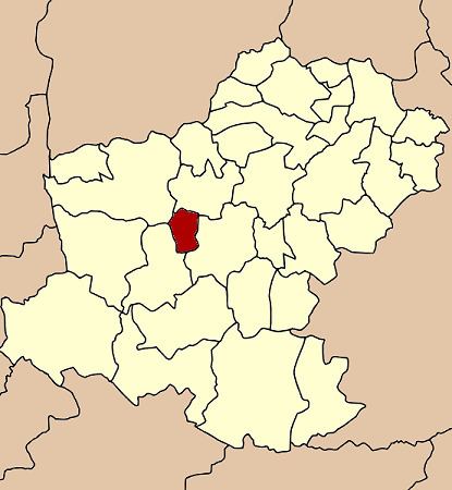
- Map of Kham Thale So District Nakhon Ratchasima Thailand
- History
- Geography
- Administration
- Economy
- References
Map of Kham Thale So District, Nakhon Ratchasima, Thailand
History
The government separated some parts of Non Thai and Sung Noen District and created the minor district (king amphoe) Kham Thale So in 1958, which was upgraded to a full district in 1965.
Geography
Neighboring districts are (from the north clockwise) Non Thai, Mueang Nakhon Ratchasima, Sung Noen, and Dan Khun Thot.
Administration
The district is divided into five sub-districts (tambon). Kham Thale So is also a township (thesaban tambon) which covers parts of the tambon Kham Thale So.
Economy
The district is the site of salt mines operated by the Saltworks Company, a major producer of salt for the chemical and food industries.
References
Kham Thale So District Wikipedia(Text) CC BY-SA