
Country Thailand Time zone THA (UTC+7) Geocode 4709 Population 37,902 (2005) | Seat Kham Ta Kla Postal code 47250 Area 402 km² Province Sakon Nakhon Province | |
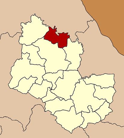 | ||
Kham Ta Kla (Thai: คำตากล้า) is a district (Amphoe) in the northern part of Sakon Nakhon Province, northeast Thailand.
Contents
Map of Kham Ta Kla District, Sakon Nakhon, Thailand
Geography
Neighboring districts are (from the southeast clockwise) Akat Amnuai, Wanon Niwat, Ban Muang of Sakon Nakhon Province, Phon Charoen and Seka of Bueng Kan Province.
History
The minor district (King Amphoe) was created on September 15, 1976, when the three tambon Kham Ta Kla, Nong Bua Sim and Na Tae were split off from Wanon Niwat district. It was upgraded to a full district on July 13, 1981.
Administration
The district is subdivided into 4 subdistricts (tambon), which are further subdivided into 57 villages (muban). Kham Ta Kla is a subdistrict municipality (thesaban tambon) which covers parts of tambon Kham Ta Kla. There are further 4 Tambon administrative organizations (TAO).