
Country Thailand Time zone ICT (UTC+7) Geocode 4610 Population 47,412 (2005) | Seat Thung Khlong Postal code 46180 Area 621 km² Province Kalasin Province | |
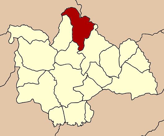 | ||
Kham Muang (Thai: คำม่วง) is the northernmost district (amphoe) of Kalasin Province, northeastern Thailand.
Contents
Map of Kham Muang District, Kalasin, Thailand
Geography
Neighboring districts are (from the southeast clockwise) Somdet, Sahatsakhan, Sam Chai of Kalasin Province, Wang Sam Mo of Udon Thani Province, Kut Bak and Phu Phan of Sakon Nakhon Province.
History
The minor district (King Amphoe) was established on 1 October 1972, when the three tambon Thung Khlong, Phon, and Sam Ron were split off from Sahatsakhan district. It was upgraded to a full district on 8 September 1976.
Administration
The district is subdivided into six subdistricts (tambon), which are further subdivided into 70 villages (muban). There are two townships (thesaban tambon) - Kha Muang covers parts of the tambon Thung Khlong; and Phon parts of the same-named tambon. There are further six tambon administrative organizations (TAO).
Missing numbers are tambon which now form Sam Chai district.