
Country Thailand Time zone THA (UTC+7) Geocode 3504 Population 68,606 (2008) | Seat Lumphuk Postal code 35110 Area 638.4 km² Province Yasothon Province | |
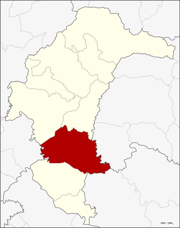 | ||
Kham Khuean Kaeo (Thai: คำเขื่อนแก้ว, [kʰām kʰɯ̀a̯n kɛ̂ːw]) is a district (amphoe) of Yasothon Province in northeastern Thailand.
Contents
Map of Kham Khuean Kaeo District, Yasothon, Thailand
History
In 1917, the district was renamed to Lumphuk after its central subdistrict. In 1953 it was named back to its original name Kham Khuean Kaeo.
When Yasothon was separated from Ubon Ratchathani, Kham Khuean Kaeo was one of the districts which was relocated to the new province.
Geography
Neighboring districts are (from the northwest clockwise) Mueang Yasothon and Pa Tio of Yasothon Province, Hua Taphan of Amnat Charoen Province, Khueang Nai of Ubon Ratchathani Province, Maha Chana Chai of Yasothon Province, and Phanom Phrai of Roi Et Province.
Administration
The district is subdivided into 13 subdistricts (tambon) which make up 115 villages (muban). Kham Khuean Kaeo is a subdistrict municipality (thesaban tambon) which covers parts of the subdistrict Lumphuk. Each of the subdistrict have a Tambon administrative organization (TAO).