
PIN 761030 Elevation 54 m Local time Monday 4:47 AM | Time zone IST (UTC+5:30) Telephone code 06810 Population 10,959 (2001) Area code 06810 | |
 | ||
Weather 24°C, Wind N at 3 km/h, 76% Humidity | ||
Khallikote (ଖଲ୍ଲିକୋଟ୍) is a town and a Notified Area Council in Ganjam district in the Indian state of Odisha.
Contents
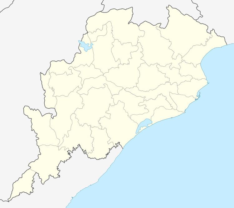
Map of Khallikot, Odisha
Geography
Khallikote is located at 19.62°N 85.08°E / 19.62; 85.08. It has an average elevation of 54 m (177 ft).
Demographics
As of 2001 India census, Khalikote had a population of 10,959. Males constitute 52% of the population and females 48%. Khalikote has an average literacy rate of 67%, higher than the national average of 59.5%: male literacy is 77%, and female literacy is 55%. In Khalikote, 12% of the population is under 6 years of age.
Politics
Current MLA from Khallikote Assembly Constituency is V.Sugyani Kumari Deo of BJD, who won the seat in State elections in 2004 and also in 2000, in 1995 representing JD, in 1990 representing JD, in 1985 representing JNP and in 1977 representing JNP. Trinath Samantary of INC(I) was MLA from this seat in 1980.
Khallikote is part of Aska (Lok Sabha constituency).