Time zone Thailand (UTC+7) TIS 1099 380108 | Amphoe Mueang Bueng Kan Postal code 38000 Population 5,294 (2012) | |
 | ||
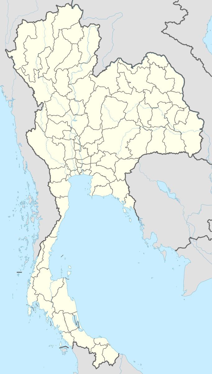
Khai Si (Thai: ไคสี) is a subdistrict (tambon) in Mueang Bueng Kan District, in Bueng Kan Province, far north-eastern Thailand. As of 2012, it has a total population of 5,294 people. It lies on Highway 212 and the Mekong River and border with Laos, west of Bueng Kan and east of Ho Kham.
Contents
Map of Khai Si, Mueang Bueng Kan District, Bueng Kan 38000, Thailand
History
The subdistrict was created in 1979, when 9 administrative villages were split from Nong Sawang subdistrict (then still named Nong Kheng) to form the new subdistrict.
Administration
The subdistrict is divided into 10 administrative villages (Muban). The subdistrict municipality Khai Si is the local government unit responsible for the subdistrict, covering the whole of the subdistrict.
References
Khai Si Wikipedia(Text) CC BY-SA
