
Country Djibouti Elevation 10 m Local time Monday 2:05 PM | Region Obock Population 1,017 (2007) | |
 | ||
Weather 31°C, Wind SE at 31 km/h, 46% Humidity | ||
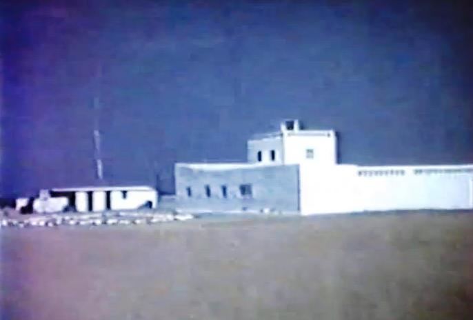
Khôr ‘Angar is a town in the northern Obock Region of Djibouti. It is situated on the west coast of the Bab el Mandeb Strait. The town is home to an airstrip.
Contents
Map of Kh%C3%B4r 'Angar, Djibouti
Overview
Khôr ‘Angar is located in west coast of the Bab el Mandeb Strait and in the north-east of the Republic of Djibouti, 257 km (by road) of Djibouti City.
Climate
The warmest month of the year is July with an average temperature of 34.9 °C. An annual low is reached in January, when the average temperature is 26.3 °C. The difference in precipitation between the driest and wettest month is 9 mm. The average temperatures vary during the year by 8.6 °C. The sky is always clear and bright throughout the year.
References
Khôr ‘Angar Wikipedia(Text) CC BY-SA