
Lowest elevation 200 m (700 ft) Area code +961 | Highest elevation 350 m (1,150 ft) Time zone EET (UTC+2) | |
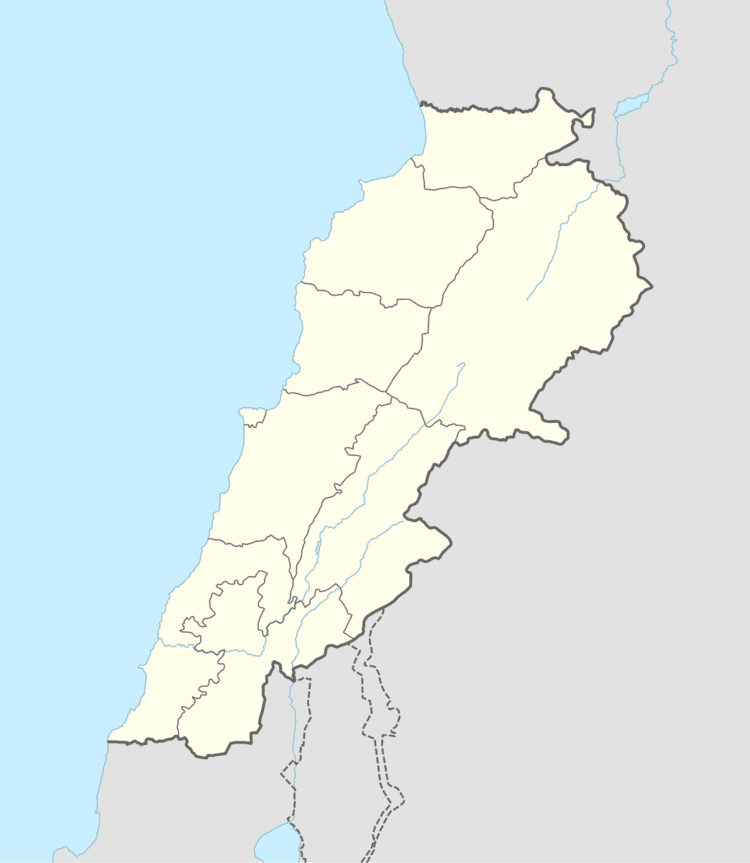 | ||
Kfarhazir (Arabic: كفر حزير) is a village in the Koura District of Lebanon. It is 360 meters above sea level, and has the area of 12.1 square kilometres (4.69 sq mi) - the largest town in Koura by size, with a population of about 2000. The population are Greek Orthodox and Maronite.
Contents
Map of Kfar Hazir, Lebanon
Location and Geography
Kfarhazir lies on a strategic hill in Koura, overlooking the Koura fields and towns from the east, and the Mediterranean sea from the west. Kfarhazir is Five minutes away from the sea, 35 minutes away from the mountains, and 50 minutes away from Beirut.
Churches
There are 5 Christian Churches in Kfarhazir:
References
Kfarhazir Wikipedia(Text) CC BY-SA