
Population (2015) 1,333 Local time Sunday 10:57 PM | Council Southern Sharon Founded 1933 | |
 | ||
Weather 15°C, Wind S at 11 km/h, 66% Humidity | ||
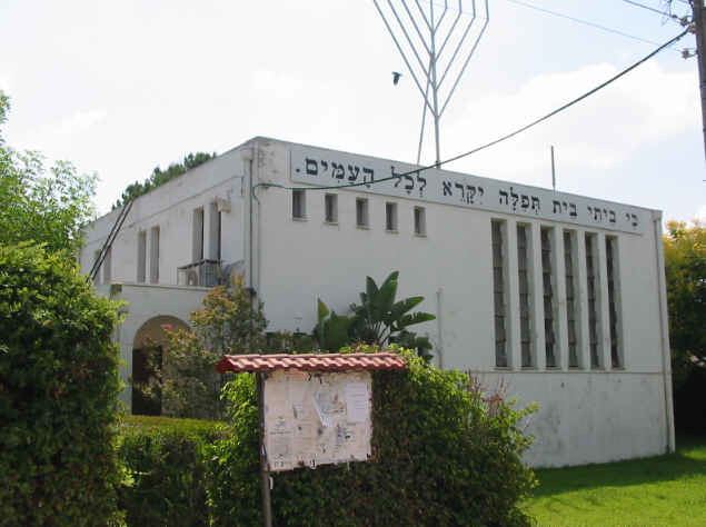
Kfar Sirkin or Kefar Syrkin (Hebrew: כְּפַר סִירְקִין) is a moshav in central Israel. Located south-east of Petah Tikva, it falls under the jurisdiction of Drom HaSharon Regional Council. In 2015 it had a population of 1,333.
Contents
Map of Kfar Sirkin, Israel
History
Kfar Sirkin was founded in 1933 and was named for the Zionist leader Nachman Syrkin. It served as a Jewish stronghold in the 1936–1939 Arab revolt in Palestine, with the Haganah using the village to fight off attacking Arab forces and to store weapons which were illegal under the British Mandate rule of the time.
Today, the village is agricultural. An Israel Defense Forces military base is located to the north-west of the village.
References
Kfar Sirkin Wikipedia(Text) CC BY-SA