
Rural administrations 9 Area 6,548 km² | Federal subject Republic of Kalmykia Rural localities 22 | |
 | ||
Administrative center settlement of Ketchenery Municipally incorporated as | ||
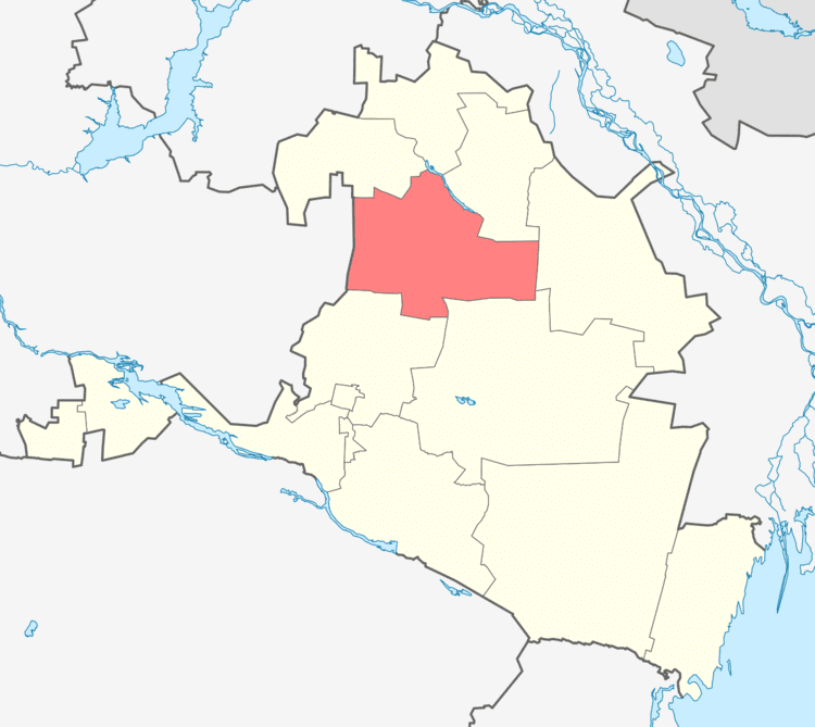
Ketchenerovsky District (Russian: Кетчене́ровский райо́н; Kalmyk: Көтчнрә район, Kötčnrä rajon) is an administrative and municipal district (raion), one of the thirteen in the Republic of Kalmykia, Russia. It is located in the northwest of the republic. The area of the district is 6,547.91 square kilometers (2,528.16 sq mi). Its administrative center is the rural locality (a settlement) of Ketchenery. As of the 2010 Census, the total population of the district was 10,622, with the population of Ketchenery accounting for 36.8% of that number.
Contents
Map of Ketchenerovsky District, Kalmykia, Russia
History
The district was established in 1938. Until 1990, it was called Priozyorny District (Приозёрный район; Kalmyk: Приозёрн район, Priozërn rajon).
Administrative and municipal status
Within the framework of administrative divisions, Ketchenerovsky District is one of the thirteen in the Republic of Kalmykia. The district is divided into nine rural administrations which comprise twenty-two rural localities. As a municipal division, the district is incorporated as Ketchenerovsky Municipal District. Its nine rural administrations are incorporated as nine rural settlements within the municipal district. The settlement of Ketchenery serves as the administrative center of both the administrative and municipal district.