Elevation/(average value of) 281 m (922 ft) Area 16.55 km² | Established 1465 Time zone EET (UTC+2) Local time Sunday 3:45 PM | |
 | ||
Weather 2°C, Wind N at 14 km/h, 92% Humidity | ||
Kernytsia (Ukrainian: Керни́ця) is a village (selo) in Horodok Raion, Lviv Oblast, of Western Ukraine. Chuchenosy villages name has been in antiquities. The modern name of village was constituted in 1780 year.
Local government is administered by Kernytska village council. Until Kernytska village council is included a village Artyschiv, a village Liubovychi, a village Mavkovychi and a village Velyka Kalynka.
Contents
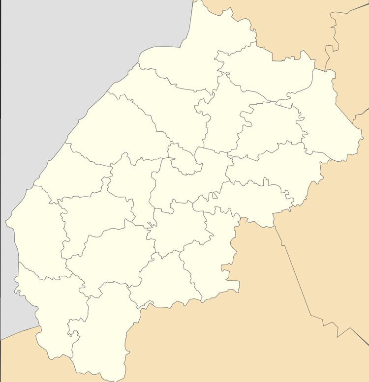
Map of Kernytsya, Lvivska, Ukraine
Geography
The village is located at a distance of 3 kilometres (1.9 mi) from the highway in Ukraine connecting Lviv with Przemyśl. A distance from Kernytsia to the district center Horodok is 8 kilometres (5.0 mi), to the regional center of Lviv is 28 kilometres (17 mi) and 75 kilometres (47 mi) to the Przemyśl.
History and Attractions
The first mention of Kernytsia dates from the year 1465. On the territory of village was a German colony Brundorf before World War II. The village was burned during World War II.
The village has an architectural monument of local importance of Horodok Raion (Horodok district) – Church of the Exaltation of the Cross 1888 (1572 –м).
