
 | ||
Eifel nationalpark wilder kermeter
The Kermeter is an upland region, up to 527.8 m above sea level (NN), which is part of the North Eifel in the districts of Aachen, Düren and Euskirchen in the southwestern part of the state of North Rhine-Westphalia in Germany.
Contents
- Eifel nationalpark wilder kermeter
- Barrierefreier natur erlebnisraum wilder kermeter
- Location
- Landscape and nature
- Hills
- References
The Kermeter ridge is covered by a forest, some 33 km² in area, that is one of the largest contiguous, deciduous forests in the Rhineland. Since 1 January 2004 it has formed the core zone of the Eifel National Park.
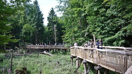
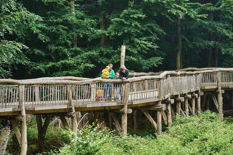
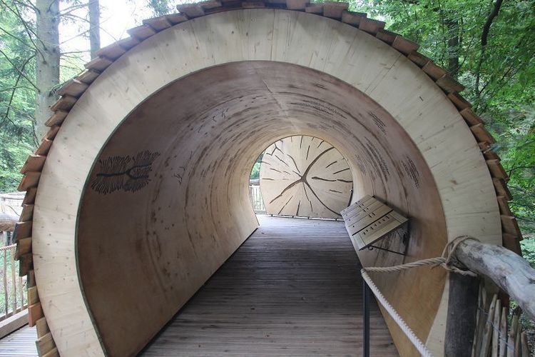
Barrierefreier natur erlebnisraum wilder kermeter
Location
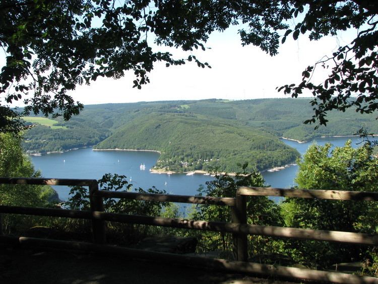
The Kermeter lies on the territory of the three Eifel parishes of Heimbach, Simmerath and Schleiden. It is bordered to the north and west by the Rur Reservoir (around 281.5 m above NN) and thus by the Rur valley near Heimbach, to the southwest by the Obersee (a pre-basin of the Rur Dam), and in the south by the Urft Reservoir (at around 322.5 m above NN) and thus the Urft valley. In the southwest the Kermeter transitions into Wolfgarten and Gemünd in the direction of the upper reaches of the Rotbach.
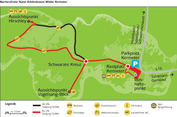
The highest point in the Kermeter is an unnamed rounded summit (527.8 m above NN) near Wolfgarten, on which the fire service and observation tower, the Wolfgarten Fire Watchtower (Feuerwachtturm Wolfgarten), stands (a list of other Kermeter hills is given below).
Landscape and nature
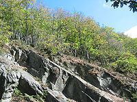
The Kermeter covers an area of 3,592 hectares, of which about 3,300 hectares is a single forested area (the so-called Kermeter-Hochwald or Kermeter High Forest). Beech woods dominate the shaded, damp northern slopes (24%), in places with trees that are over 200 years old. Oak woods hold sway on the drier, southern slopes (26%), interrupted by rocky outcrops (Felsheide). At the start of the 21st century almost half the forest area still consisted of spruce trees, a consequence of reforestation measures after the Second World War. However it is planned that in the long term the spruce stock will be reduced in favour of deciduous woods.
Hills
Amongst the hills and high points of the Kermeter are the following, according to the Deutsche Grundkarte and sorted by height in metres above sea level: