
Time zone EET (UTC+2) Vehicle registration Z Local time Sunday 2:02 PM Municipality Keratsini-Drapetsona | Elevation 40 m (130 ft) Postal code 187 xx Website www.keratsini.gr Area code 210 Team Faros Keratsiniou B.C. | |
 | ||
Weather 12°C, Wind N at 16 km/h, 53% Humidity | ||
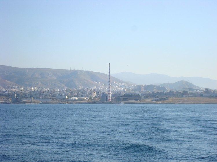
Keratsini (Greek: Κερατσίνι) is a suburb in the western part of the Athens agglomeration, Greece. Since the 2011 local government reform it is part of the municipality Keratsini-Drapetsona, of which it is the seat and a municipal unit.
Contents
Map of Keratsini, Greece
Geography
Keratsini is situated on the Saronic Gulf coast, 3 km (1.9 mi) northwest of Piraeus city centre and about 10 kilometres (6 miles) west of Athens city centre. The municipal unit has an area of 7.601 km2. The coastal area consists mainly of port facilities, part of the Port of Piraeus.
Culture
Keratsini has its own non-professional choir (mixed voices, SATB). It has participated many times in festivals all around Greece. The town has its own choir festival called international song festival.
Sports
Keratsini hosts the football club Keratsini FC with earlier presence in Gamma Ethniki and the basketball club Faros Keratsiniou B.C. with presence in A2 Ethniki basketball.
International relations
Keratsini is twinned with Prešov, Slovakia, since 1994.