Founded by Thottathil Family PIN 691014, 691504, 691577 Area code 0474 | Time zone IST (UTC+5:30) Telephone code 0474 | |
 | ||
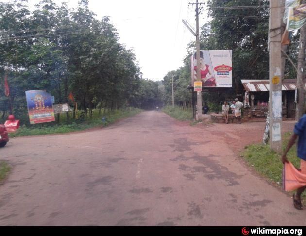
Keralapuram is a small suburban town in Quilon District of Kerala, India.
Contents
Map of Keralapuram, Kerala
History
Founded in 1945 by Muhammad Sher Khan Pathan (Thottathil Muhammad Kunju), a Business man from Mumbai brother of Smuggler Karim Lala. This township is located on NH-208. The nearest towns are Karicode and Kundara.
Location
Located at 10.5 km away from Kollam city, 22 km away from Paravur and 3 km away from Kundara, It is best known as the land of bombay dons. In recent years, Keralapuram has been developed as a smart City. Besides, Thangal Kunju Musaliar College of Engineering (TKMCE), one of the premiere engineering institutes in Kerala, is just 3 kilometres from here. The famous Keralapuram Juma Masjid is located in the heart of the town.
Transportation
Keralapuram is connected with various important towns in Kollam district.
