
North end: KY 135 near Tolu Length 17.7 km | Counties: Crittenden | |
 | ||
South end: US 60 / KY 2132 near Levias County Crittenden County, Kentucky | ||
Kentucky Route 297 (KY 297) is a 11.0-mile-long (17.7 km) state highway in the U.S. state of Kentucky. The highway connects mostly rural areas of Crittenden County.
Contents
Map of KY-297, Marion, KY 42064, USA
Route description
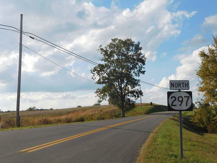
KY 297 begins at an intersection with U.S. Route 60 (US 60) east-northeast of Levias, within Crittenden County, where the roadway continues as KY 2132. It travels to the northwest and passes Love Cemetery before intersecting the southern terminus of KY 2123. It curves to the west-northwest and travels through Sheridan. It passes the Western Kentucky Youth Camp and curves back to the northwest. It has a short concurrency with KY 723, during which they travel through Irma. KY 297 continues to the northwest and then meets its northern terminus, an intersection with KY 135. Here, the roadway continues as Old Elizabethtown Ferry Road.
Major intersections
The entire route is in Crittenden County.