
Country United States GNIS feature ID 495664 Local time Sunday 1:43 AM | Time zone Eastern (EST) (UTC-5) Elevation 221 m | |
 | ||
Weather -3°C, Wind N at 8 km/h, 53% Humidity | ||
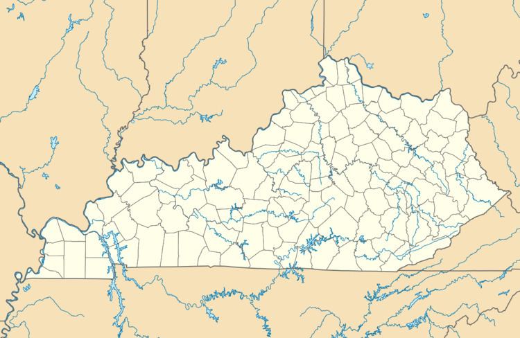
Kentontown is an unincorporated community in Robertson County, Kentucky, United States. It lies along U.S. Route 62 and Kentucky Route 617 southwest of the city of Mount Olivet, the county seat of Robertson County. Its elevation is 725 feet (221 m).
Map of Kentontown, KY 41064, USA
References
Kentontown, Kentucky Wikipedia(Text) CC BY-SA