
Population 1,151 (2006 census) Area 60 ha | Postcode(s) 5067 Postal code 5067 | |
 | ||
LGA(s) City of Norwood Payneham St Peters | ||
Kent Town is an inner urban suburb of Adelaide, South Australia. It is located in the City of Norwood Payneham & St Peters.
Contents
- Map of Kent Town SA 5067 Australia
- History
- Demographics
- Schools
- Attractions
- Roads
- Public transport
- References
Map of Kent Town SA 5067, Australia
History
The suburb was named after Dr Benjamin Archer Kent, who established a farm and flour mill on which the suburb now stands.
Demographics
The 2006 Census by the Australian Bureau of Statistics counted 1,151 persons in Kent Town on census night. Of these, 57.1% were male and 42.9% were female.
The majority of residents (62.3%) are of Australian birth, with other common census responses being Malaysia (3.8%), India (3.7%), China (3.7%) and England (3.6%).
The age distribution of Kent Town residents is comparable to that of the greater Australian population. 66.2% of residents were over 25 years in 2006, compared to the Australian average of 66.5%; and 33.8% were younger than 25 years, compared to the Australian average of 33.5%.
Schools
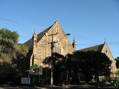
Prince Alfred College is located in the suburb.
Attractions
Kent Town is the site of a former brewery, now redeveloped into apartments.
Roads
The suburb is serviced by the following main roads:
Public transport
Kent Town is serviced by public transport run by the Adelaide Metro.