
Country United States Time zone CST (UTC-6) Population 3,523 (2010) | City Minneapolis Area 169 ha Zip code 55419 Area code 612 | |
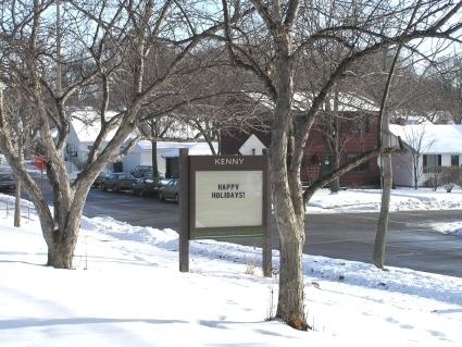 | ||
Kenny is a neighborhood in the Southwest community in Minneapolis. Its boundaries are West 54th Street to the north, Lyndale Avenue South and Highway 121 to the east, West 62nd Street (Highway 62) to the south, and Logan Avenue South to the west.
Contents
Map of Kenny, Minneapolis, MN 55419, USA
Businesses
References
Kenny, Minneapolis Wikipedia(Text) CC BY-SA