
Postcode(s) 3234 Postal code 3234 | Kennett River Bass Strait Local time Sunday 3:15 PM | |
 | ||
Location 174 km (108 mi) SW of Melbourne100 km (62 mi) SW of Geelong44 km (27 mi) SE of Colac27 km (17 mi) SW of Lorne Weather 23°C, Wind S at 14 km/h, 60% Humidity | ||
Kennett River is a small seaside town in Victoria, Australia.
Contents
Map of Kennett River VIC 3234, Australia
Situated 174 kilometres (108 mi) west of Melbourne, on the Otway Coast part of the scenic Great Ocean Road, Kennett River is a popular tourist destination 27 kilometres (17 mi) from the resort town of Lorne, Victoria.
History
The river running through the town was named by surveyor George Smythe after the River Kennet in Berkshire, England.
In 1882 Alex MacLennan was, with his cousins the MacReas, looking for an area suited to farming and fishing, and chose this site, west of the MacRea's chosen site, which he named The Kennet. His cousins settled on the other side of the creek at a site named Wye River. Kennett River Post Office opened on 15 December 1938 and closed in about 1984.
Tourism
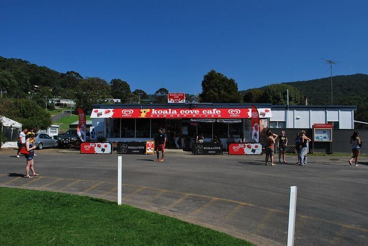
The area is known for scenic coastal views, the Great Otway National Park, and surfing. Kennett River is also one of the best places in Australia to see koalas in the wild. Turn into Grey River Road, off the Great Ocean Road, and along the first two kilometres of the road you will be unlucky not to spot koalas in the eucalypts.
Kennett River has a Surf Lifesaving Club (SLSC) that was established in 1963.