Suvarna Garge (Editor)

Kengtung District

Updated on
Edit
Like
Comment
Share on FacebookTweet on TwitterShare on LinkedInShare on Reddit
Country
  
Burma

Time zone
  
MST (UTC+6.30)

State
  
Shan State

Elevation
  
807 m

Kengtung District

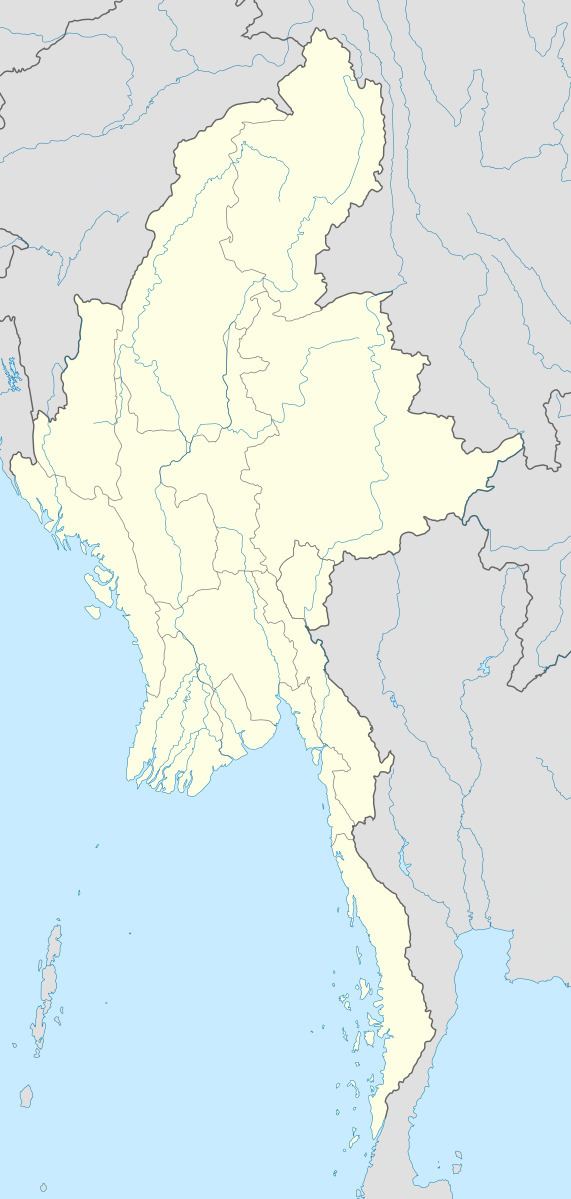
Kengtung District (Burmese: ကျိုင်းတုံခရိုင်; also spelled Kengtong) is a district of the Shan State in Myanmar. It consists of 3 towns and 1449 villages.

Townships

The district contains the following townships:

  • Kengtung Township, Kengtung is the largest, most mountainous, most easterly, and culturally the farthest from the Burmese, of all the Shan States. Geography makes approach to it from the rest of Burma difficult for it lies not only beyond the Salween across which no bridge has been built and whose eastern tributaries have cut no easy routes through the serried north-south ranges, but nearer again to the Mekong than to the Salween.
  • Mong Khet Township
  • Mong Yang Township
  • Mong La Township
  • Mat Man Township, Matman (Maman) Township became part of Hopang District instead part of Kengtung District after September 2011.
  • References

    Kengtung District Wikipedia