
Population 142 (2006 census) Postal code 2396 | Postcode(s) 2396 Local time Sunday 12:59 PM | |
 | ||
Weather 32°C, Wind N at 19 km/h, 23% Humidity | ||
Kenebri is a locality in northern New South Wales, Australia.
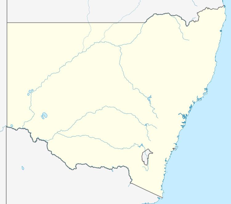
Map of Kenebri NSW 2396, Australia
Kenebri is located between Baradine and Gwabegar on the road from Coonabarabran.
The Gwabegar railway line reached Kenebri in 1923 and a station and siding were opened. Kenebri was the source of rail sleepers. Kenebri Post Office opened on 1 March 1929 and closed in 1984.
The Gwabegar line was closed north of Binnaway in 2005. Kenebri station was located 564 railway kilometres from Sydney.
Kenebri is located in the Pilliga forest and there were timber harvesting activities there. Kenebri also has a public school at one time, which is now closed. The nearest extant town to Kenebri is Baradine.
At the 2006 census, Kenebri and the surrounding area had a population of 142.
References
Kenebri, New South Wales Wikipedia(Text) CC BY-SA