
OS grid reference TL036478 Post town BEDFORD | Sovereign state United Kingdom Dialling code 01234 | |
 | ||
Population 7,136 (2011 Census. Ward) | ||
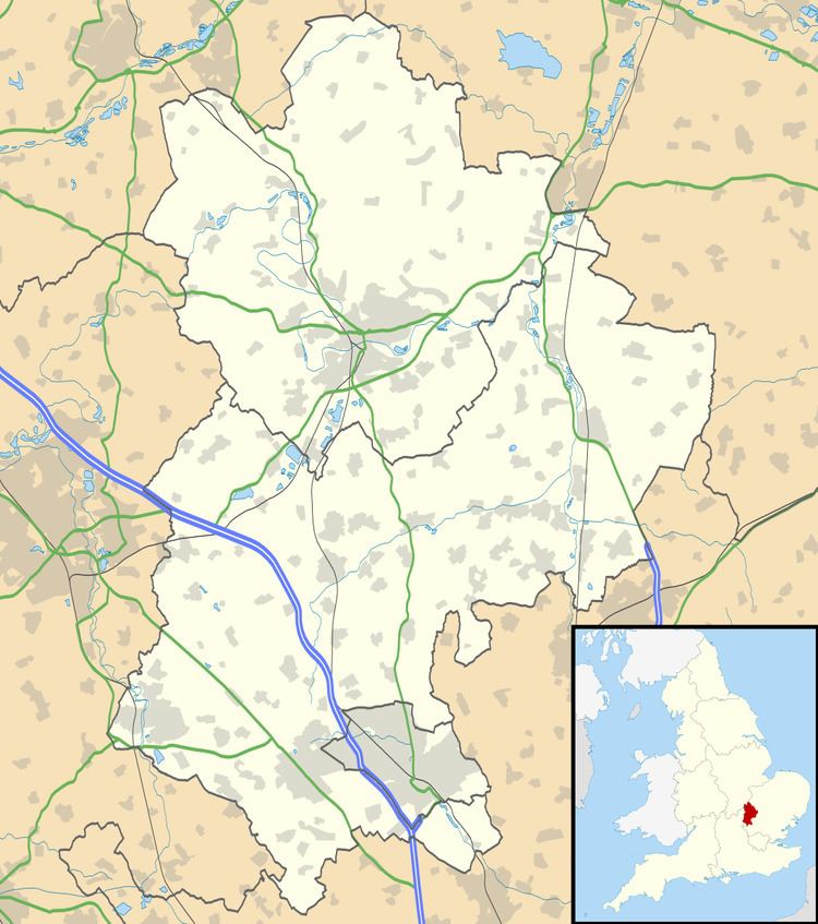
Kempston Central and East is an electoral ward and area within Kempston, Bedfordshire, England.
The boundaries of the ward are approximately the River Great Ouse to the north, the Midland Main Line railway line to the east, Elstow Road to south and Bedford Road to the west.
The area used to be a hamlet known as Kempston East End, but was absorbed into the Kempston Urban District in 1896. Today, Kempston Barracks and the Saxon shopping centre (including a Sainsburys supermarket) are located within the boundaries of the ward.
Previously known as Kempston East, the ward's name was changed for the 5th May 2011 local elections and it became Kempston Central and East.
References
Kempston Central and East Wikipedia(Text) CC BY-SA