
Local time Saturday 11:18 PM | ||
 | ||
Weather 9°C, Wind SW at 10 km/h, 98% Humidity | ||
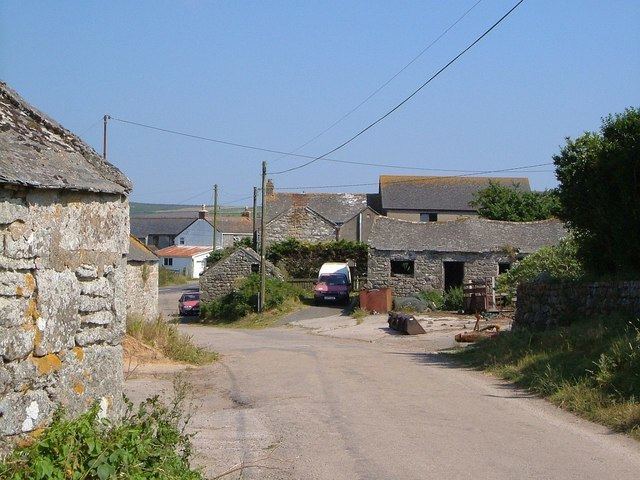
Kelynack is a settlement in west Cornwall, England, UK. It is situated on the Penwith peninsula approximately four miles (6 km) north north-east of Land's End and one mile (1.6 km) south of St Just. It lies along the B3306 road which connects St Ives to the A30 road, and is the last settlement before the road joins the A30. Kelynack lies within the Cornwall Area of Outstanding Natural Beauty (AONB). Almost a third of Cornwall has AONB designation, with the same status and protection as a National Park. Kelynack is also the name of one of the three school houses at Cape Cornwall School.
Contents
Map of Kelynack, Penzance, UK
History
Kelynack was mentioned in the Domesday Book where it was listed as Chelenoc, and as the Tithing of Kelynack in the Assize Rolls of 1284.
The plans for Kelynack school (grid reference SW375294) were approved in May 1880 with the authorities requiring accommodation for one hundred children.
Toponymy
First recorded in the Domesday Book as Chelenoc, than Kellenyek (1286), Kellenek (1300), Kelleynek (1302), Kellenick (1346), Kalynack (1589 and 1732). The name means holly grove.