
Adjacent bodies of water Bay of Bothnia District Kello Area 5 km² Adjacent body of water Bothnian Bay | Region Northern Ostrobothnia Population Uninhabited | |
 | ||
Kellon Kraaseli (officially Kraaseli) is an island in the Finnish sector of the Bay of Bothnia.
Contents
Map of Kellon Kraaseli, Oulu, Finland
Description
Kellon Kraaseli is located off shore from the village of the Kello district in Oulu. The name is derived from the Swedish word gråsäl, meaning "gray seals".
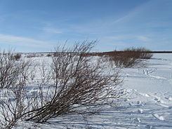
Kellon Kraaseli is a low island, with its highest point only a few meters above sea level. The coastline has a total length of about 10 kilometres (6.2 mi). The island is almost entirely covered by deciduous vegetation. It has extensive riparian areas that are covered during high tide. The island is used only for summer cottages and harbor protection.
Kellon Kraaseli was used for common pasturage for cows and sheep until the start of the 1980s. Today the island is separated from Rapakari island towards the mainland by an artificial channel built as a recreational waterway with a nominal depth of 1.8 metres (5 ft 11 in). The sea area north of the island is known as Kellonlahti, and the sea area to the east off the coast of Pateniemi is called the Kuivasmeri. This stretch of water is fairly sheltered, and is used as a common anchorage for fishing boats during stormy weather.