
Country Ethiopia Elevation 1,424 m Population 10,084 (2007) | Woreda Amaro special woreda Local time Saturday 11:52 PM | |
 | ||
Region Southern Nations, Nationalities, and Peoples Region Weather 19°C, Wind E at 11 km/h, 37% Humidity | ||
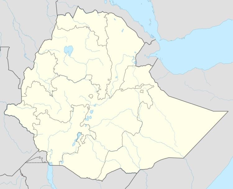
Kele is a town in southern Ethiopia, and is the administrative center of the Amaro special woreda. Located in the Southern Nations, Nationalities, and Peoples Region southeast of Lake Abaya, this town has a latitude and longitude of 06°05′N 38°02′E with an altitude of 1424 meters above sea level. The name of this town, "Kele", comes from the Oromo word for the gate in a thorn hedge; the concept of kela as a customs post on the border of a province was taken over by the Oromo invaders from the Sidama peoples who previously dominated southern Ethiopia.
Map of Kele, Ethiopia
Kele is located 202 km south of Awassa and 474 km south of Addis Ababa, 60 kilometers west from the main Awassa-Moyale highway. The infrastructure of the town is poor. There is a semi-automatic telephone service, tap water, and a sub-postal office. Currently Kele is connected to the main Koka hydroelectric power line and now gets 24 hours of electricity service. Kele has few local hotels, restaurants, shops, one health center, and a couple of private rural drug stores.
Based on figures from the Central Statistical Agency in 2007, Kele has an estimated total population of 5,542 of whom 5,154 are men and 4,930 are women. The 1994 national census reported this town had a total population of 1,900 of whom 822 were men and 1,078 were women.