
Location South East Asia Highest elevation 828 m (2,717 ft) Elevation 828 m | Archipelago Maluku Islands Highest point Tonu Province Maluku | |
 | ||
Kelang new himachali folk video 2014 haye dhola rumail singh himachali hits
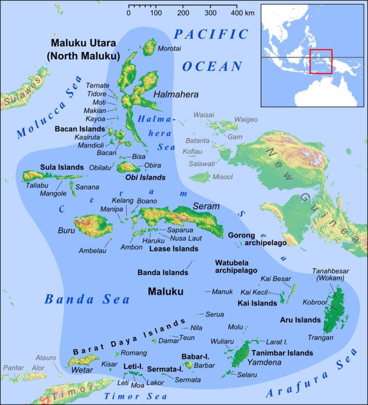
Kelang Island is an island in Central Maluku Regency, Maluku Province, Indonesia. It is a mountainous island located off the western tip of Seram Island, just east of Manipa. Kampung Sole, located on the northeastern side, is the largest village. Tono, the highest point in the island, is an old volcano.
Contents
- Kelang new himachali folk video 2014 haye dhola rumail singh himachali hits
- Map of Kelang Island Huamual Belakang West Seram Bagian Regency Maluku Indonesia
- References
Map of Kelang Island, Huamual Belakang, West Seram Bagian Regency, Maluku, Indonesia
Babi Island is a 6 km long island located between Kelang and Seram. It is a relatively low island close off Kelang's northeastern side, separated from Kelang and Seram by narrow straits.
The inhabitants of Kelang speak the Luhu language, as well as Indonesian and Ambonese Malay.
References
Kelang Wikipedia(Text) CC BY-SA