 | ||
Kek trek part 1 kekekabic snowbank trails bwca minnesota
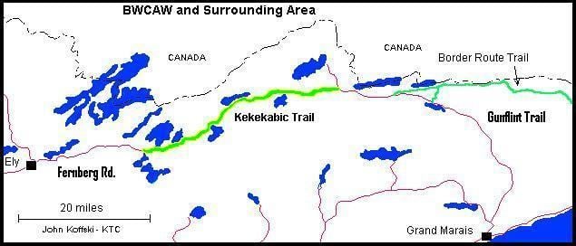
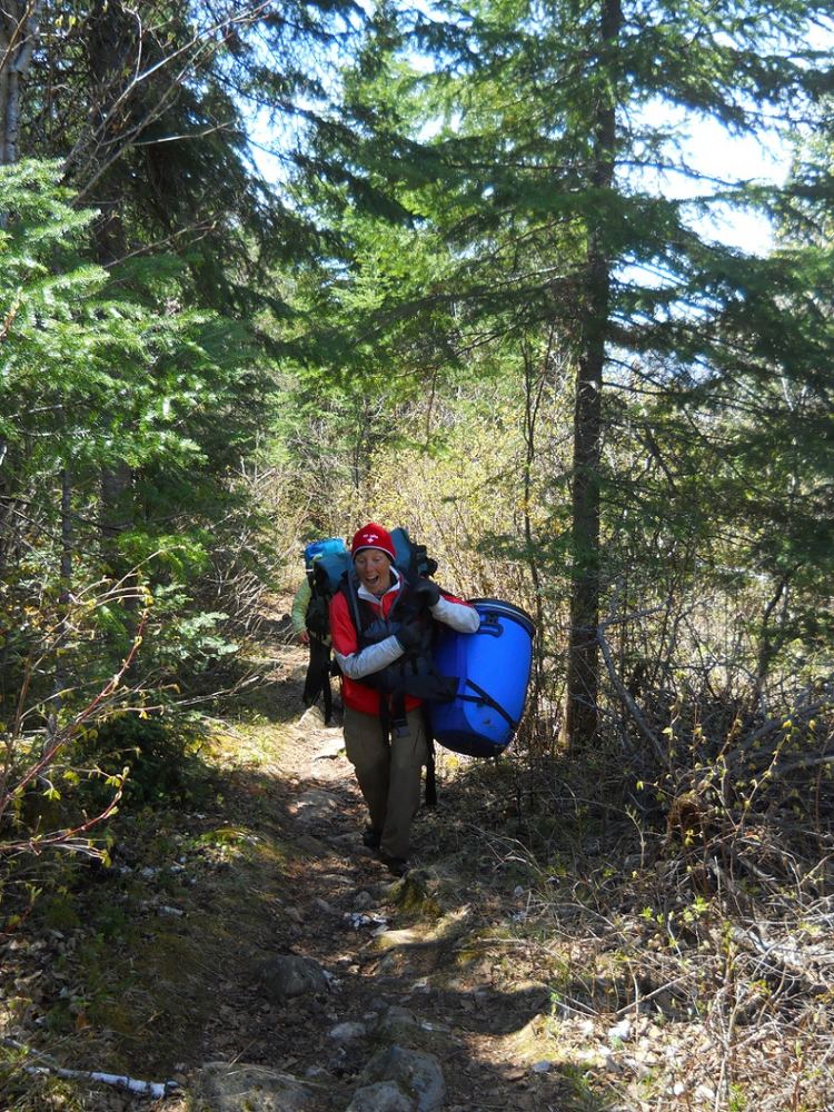
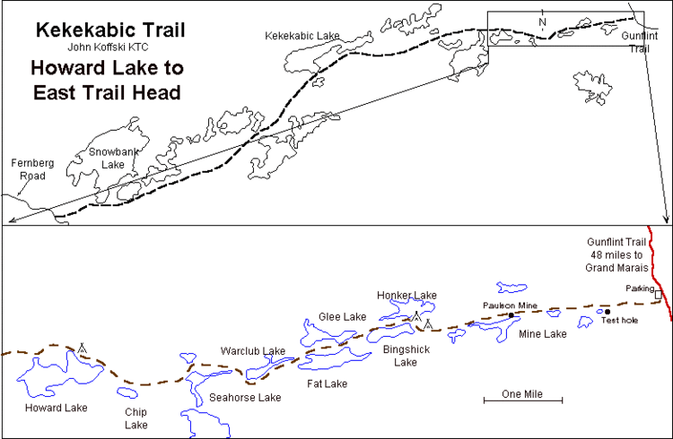
The Kekekabic Trail, commonly referred to as 'The Kek', is a hiking trail that runs about 41 miles from Snowbank Road near Ely, Minnesota to the western terminus of the Gunflint Trail in northwestern Cook County. The Gunflint then proceeds southeastward, with its terminus at Grand Marais, Minnesota on Lake Superior. The Kekekabic Trail runs through the center of the Boundary Waters Canoe Area Wilderness and begins opposite the Snowbank Trailhead on the Ely side. Most of the trail lies in Lake County.
Contents
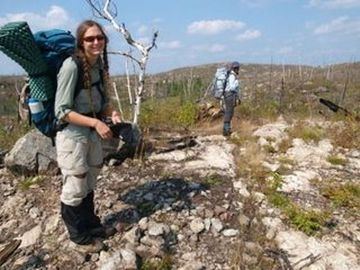
The trail can be divided into thirds. The western third lies mostly in an intact forest canopy of aspen, jack pine, some large white pine, and boreal conifers. There is a large recent clearcut that the trail passes through west of Snowbank Lake. The middle third passes through the remnants of the 1999 blowdown and the forest is composed of brush, small trees, some large white pines that survived the storm, a lot of broken off snags, and a large amount of downfalls. The eastern third passes through parts of the blowdown that have been burned by the Ham Lake and Cavity Lake wildfires. Here, the trail passes through areas where a majority of the tree canopy was killed by the fires.
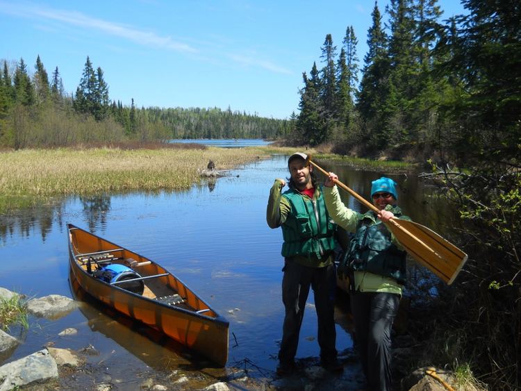
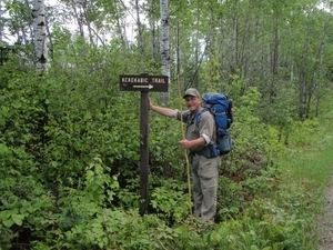
2012 kekekabic trail hike