
Population 3,070 (2006 census) Postal code 2500 | Postcode(s) 2500 Area 3.3 km² Local time Sunday 6:04 AM | |
 | ||
Location 3 km (2 mi) from Wollongong Weather 17°C, Wind NW at 14 km/h, 88% Humidity | ||
Keiraville is an inner suburb of the city of Wollongong, New South Wales, Australia in the Illawarra region. It is situated in the foothills of Mount Keira, approximately three kilometres northwest of Wollongong.
Contents
Map of Keiraville NSW 2500, Australia
Description
Keiraville has a public school (the Keiraville Public School), post office and several shops located on Gipps Road.
Keiraville (and its neighbour Gwynneville) is known as a university town, home to the main campus of the University of Wollongong.
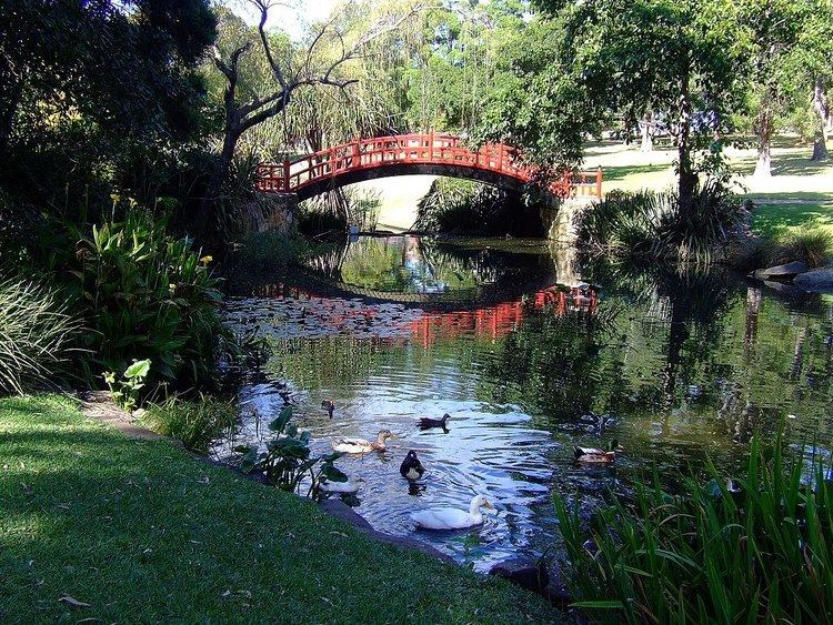
Another major landmark, Wollongong Botanic Garden, is situated between Northfields Avenue and Murphys Avenue, and includes the Wollongong Conservatorium of Music.
References
Keiraville, New South Wales Wikipedia(Text) CC BY-SA