
OSI/OSNI grid R823667 Elevation 694 m Listing Marilyn | Topo map OSi Discovery 59 | |
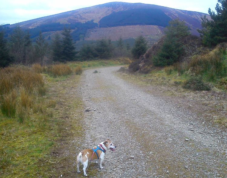 | ||
Easiest route Way marked from Doonane carpark through Ballyhourigan woods Similar Galty, Baurtregaum, Fauscoum, Mullaghanattin, Mushera | ||
Keeper Hill or Slievekimalta or Sliabh Coimeálta (from Irish: Sliabh Coimeálta, meaning "mountain of guarding") is a 694 m (2,277 ft) mountain in the Silvermine Mountains of County Tipperary, Ireland.
Contents
- Map of Keeper Hill Bunkimalta Co Tipperary Ireland
- GeographyEdit
- Access to the summitEdit
- ConservationEdit
- References
Map of Keeper Hill, Bunkimalta, Co. Tipperary, Ireland
GeographyEdit
The mountain is about 15 km east of Limerick City. Keeper Hill is the highest mountain in the Silvermines (and the wider Shannon area) and the 117th highest in Ireland.
Access to the summitEdit
There is a looped walk around the lower shoulders of Keeper Hill, to which the ‘hardy’ walker can add the ‘trek’ to the summit. This loop walk is part of the National Looped Walks and is marked using the standard purple National Looped Walk directional arrows.
ConservationEdit
On the slopes of Keeper Hill is a woodland of 3,300 hectares. The 300 hectare summit is blanket bog and Nardus grassland, considered of ecological importance. Keeper Hill is designated a Special Area of Conservation.