
Time zone CET (UTC+01) Population 156,961 (2014) | Created September 1981 Area rank Ranked 2nd of 24 Area 22,454 km² ISO 3166 code ISO 3166-2:TN | |
 | ||
Demonym(s) Kebilian(Arabic: قبلاوي, Kebelawi) | ||
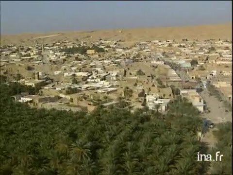
Kebili Governorate (Arabic: ولاية ڨبلي Gibillī [ˈɡbɪl.liː]) is the second largest of the 24 governorates (provinces) of Tunisia. It is situated in south-western Tunisia, bordering Algeria. It covers an area of 22,454 square kilometres (8,670 sq mi) and had a population of 156,961 at the 2014 census. The capital is Kebili.
Contents
Map of Kebili, Tunisia
Geography
Kebili climate is very difficult in winter (very cold at night) and in summer (high temperature). The region is very nice to visit in spring and in the end of autumn.
Kebili contains a significant part of Tunisia’s largest salt pan, which is known as Chott el-Jerid, as well as the western end of Chott el Fejej.
Administrative divisions
Kebili Governorate is subdivided into six delegations:
The following five municipalities are located in Kebili Governorate: